

|
|
Shorebirds Cooktown to the Whitsunday IslandsThe coastline from Cooktown south to the Whitsunday Islands varies from extensive intertidal flats to mangroves. The area includes some significant shorebird habitat, most notably Bowling Green Bay, and surrounds, which has been recognised though its inclusion in the Flyway Site Network, as a Ramsar site and as a protected wetland. Queensland shorebird species - Bird wetland indicator species and profiles 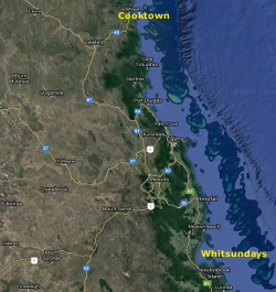 Quick facts
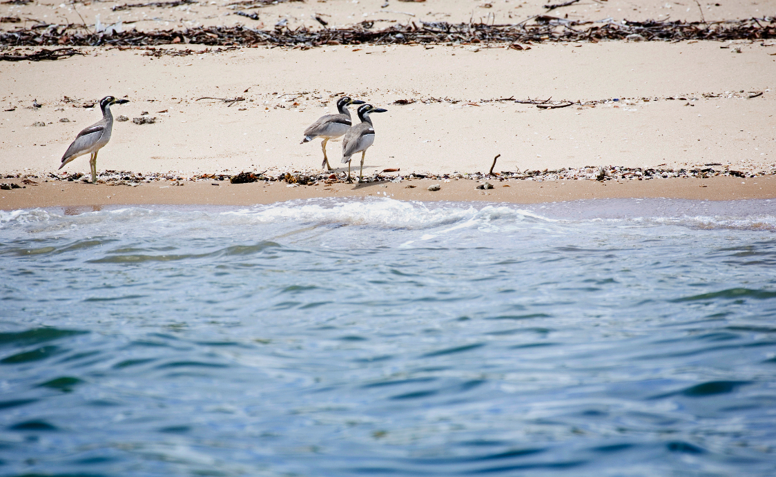 The coastline from Cooktown south to Cairns is not known for high numbers of shorebirds. A few thousand mixed species of shorebirds normally occur over the summer months around Trinity Inlet. Whimbrel and sharp-tailed sandpipers are common here. There are other intertidal areas nearby at Mission Bay (Yarrabah) and at the mouth of the Mulgrave and Russell Rivers where shorebirds occur in moderate numbers. Estuaries and creeks south of Cairns generally feature extensive mangrove stands, with some open tidal flats that support small shorebird populations. Small roost sites have been located at the mouths of the Johnstone River and Liverpool Creek but information is limited. The Townsville region, including Hinchinbrook Channel, Halifax and Cleveland Bays has been monitored but there remain knowledge gaps about the distribution of shorebirds here, 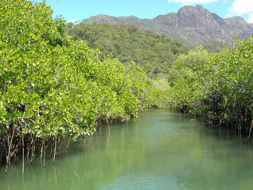 In Missionary Bay (north of Hinchinbrook Island) and around Lucinda Point (south), intertidal flats are more extensive. A large shorebird roost has been located around Lucinda Point, as well as two smaller roosts. To the north of Hinchinbrook, small shorebird roosts have been identified at the mouths of the Tully and Murray Rivers, and Dallachy and Meunga Creeks. Shorebirds feed along the shores of Halifax Bay where localised intertidal areas and adjoining mangroves occur, mostly in the context of small estuaries with a number of moderately sized roost sites noted in the area, including sites at the mouths of Rollingstone Creek and Black River. Four major estuaries empty into Cleveland Bay and there are extensive intertidal flats with associated mangroves and saltmarsh 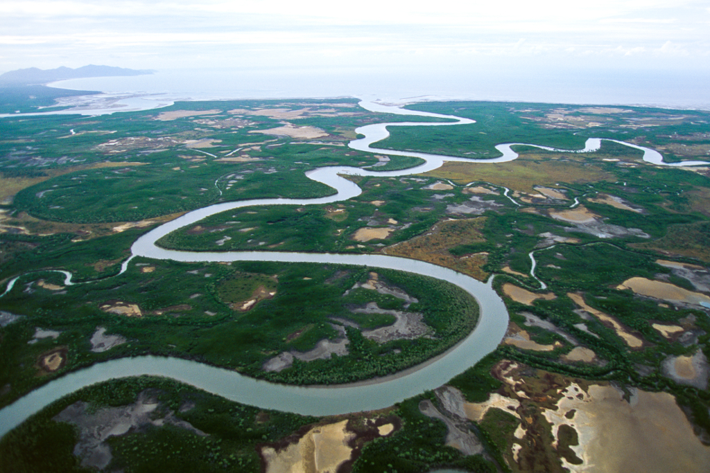 To the south east of Cleveland Bay is the Bowling Green Bay Ramsar site, with recognised importance for great knot and a high diversity of shorebirds. The Burdekin River estuary and south into Upstart Bay and Nobbies Inlet is the next significant area for shorebirds. It is an area with a high diversity of species and total numbers in excess of 10,000 birds. Much of Cleveland Bay, Bowling Green Bay, the Burdekin Delta and Upstart Bay are difficult to access. Large numbers of birds have been reported in the Elliott River estuary, just south of Cape Upstart and roost sites have been identified in Edgecumbe and around Bowen. The overall density of shorebirds does not appear very high, however, difficulty of getting regular access to much of this coastline has hampered a good understanding of the area. Further south the Whitsunday coastline through to Cape Conway is predominantly rocky and steep sided, offering little habitat for shorebirds. Acknowledgements This information has been compiled by the Queensland Wader Study Group with input from the Queensland Parks and Wildlife Service, researchers and volunteers (from Australasian Wader Study Group, Birds Queensland, the Port Curtis Wader Study Group, the Wildlife Preservation Society of Queensland, Birds Australia and the Mackay Conservation Group). These pages are primarily sourced from the report prepared by the Queensland Ornithological Society Inc for the Queensland Department of Environment and Heritage Protection and the Australian Heritage Committee, Driscoll, P. V. 1995. Survey of wader and waterbird communities along the central Queensland coast. Please note the information above is based on the best available at the time of publication. Last updated: 4 July 2017 This page should be cited as: Department of Environment, Science and Innovation, Queensland (2017) Shorebirds Cooktown to the Whitsunday Islands, WetlandInfo website, accessed 8 May 2025. Available at: https://wetlandinfo.des.qld.gov.au/wetlands/ecology/components/biota/fauna/fauna-taxon/birds/shore-bird/migratory-qld/cooktown-whitsunday.html |
Site footer

 — Department of the Environment, Tourism, Science and Innovation