

|
|
Tidal rangeTidal range is the difference between the maximum and minimum water levels during a typical tidal cycle[4]. The height differences between high and low tide vary along different parts of the coastline and open ocean, and at different times. The tidal range (or tidal amplitude) at a specific area also varies with the spring and neap tide cycles (aligned to phases of the moon), resulting in different inundation patterns. 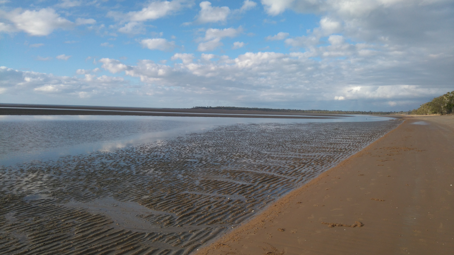 Quick facts
Differences in tide heights are primarily caused by:
The tidal range changes across the spring to neap cycle, being lower during neap tide (half moons). The moon has an elliptical orbit around the earth, and the tidal range is lowest when the moon is furthest from the earth. Tidal range is greater at the equinoxes and at ‘supermoons’ when the moon is closer to the earth. Every 18.6 years the tidal range is greatest due to the regular “moon wobble” that occurs over that period[9]. Where tides propagate from two different areas (amphidromes) and meet at the boundaries of adjacent tidal basins, the tidal range becomes additive, causing the macro-tidal ranges such as those seen in Shoalwater Bay and Broadsound in Central Queensland where a vast intertidal area can be exposed during spring low tides. The timing of tides and the number per day varies and can be either diurnal (one high and one low per day), semidiurnal (two highs and two lows per day), or mixed (a combination of diurnal and semidiurnal). Worldwide, most areas are dominated by micro-tidal and mesotidal ranges (<4m) with low to moderate tidal ranges, whereas macrotidal areas having high tidal range are relatively infrequent (hypertidal >6m, megatidal >8m). Tidal range determines the extent of the intertidal area, the regime of tidal inundation (periodicity) and the emergence time of the intertidal area. The intertidal area is at its greatest extent during spring and neap tides, or at times when the moon is closest known as king tides. Regional differences in tidal range influence patterns and processes of the terrain, substrate, physical and chemical water properties and biotic spatial patterns, movement, reproduction and breeding[10]. The interplay between tides, waves and riverine energy is important for shaping estuarine structure and function, influencing water quality / clarity, energy magnitude, sediment transport and deposition.[3]. In areas with low tidal ranges (microtidal areas) there is a narrow intertidal extent and slower currents. These predictable local conditions mean that mobile animals can take their time to feed. In areas with high tidal ranges (macrotidal) there is a wide intertidal extent and faster currents. The strength and speed of the tidal current, its energy magnitude, is directly related to its tidal range. Tidal range interacts affects salinity, which in turn influences fish distribution. Fast tidal currents in these areas may come as a wave or ‘bore’. Rapid tidal current speeds can stir up sediment from the sea floor, reduce water clarity and dislodge plants such as seagrasses which prefer low currents. Broad expanses of saltmarsh and saltpan can be found in areas of high tidal range. Understanding how tidal range influences wetlands is critical for their management to maximise wetland services. Climate change induced differences in wave energy, storms and sea level rise are modifying coastal processes, particularly estuary entrances[6][8][7]. Intermittently open and closed lagoon lakes (ICOLLs) close to urban areas pose water quality management problems when they are cut off from the sea. Entrances of (ICOLLs) having low tidal range are particularly vulnerable to climate change induced alteration of waves, storms and runoff. Maintaining hydrological connectivity across the extent of the intertidal area is critical for maintenance of aquatic animal life processes. Taking a whole-of-system, values-based approach is especially important in macrotidal areas where broad expanses of saltmarsh and saltpan adjacent to farmland have become available for agricultural use, such as for grazing (ponded pasture), thereby reducing wetland ecosystem services. Options for rehabilitating wetland processes such as maintenance of biopassage for aquatic biota need to consider all the services the wetland is performing, such as waterbird habitat. Removal of bunds to re-introduce tidal waters can reduce terrestrial weeds and restore coastal wetland services[1][5]. References
Last updated: 24 October 2023 This page should be cited as: Department of Environment, Science and Innovation, Queensland (2023) Tidal range, WetlandInfo website, accessed 8 May 2025. Available at: https://wetlandinfo.des.qld.gov.au/wetlands/ecology/components/water-physical/tidal-range/ |
Site footer

 — Department of the Environment, Tourism, Science and Innovation