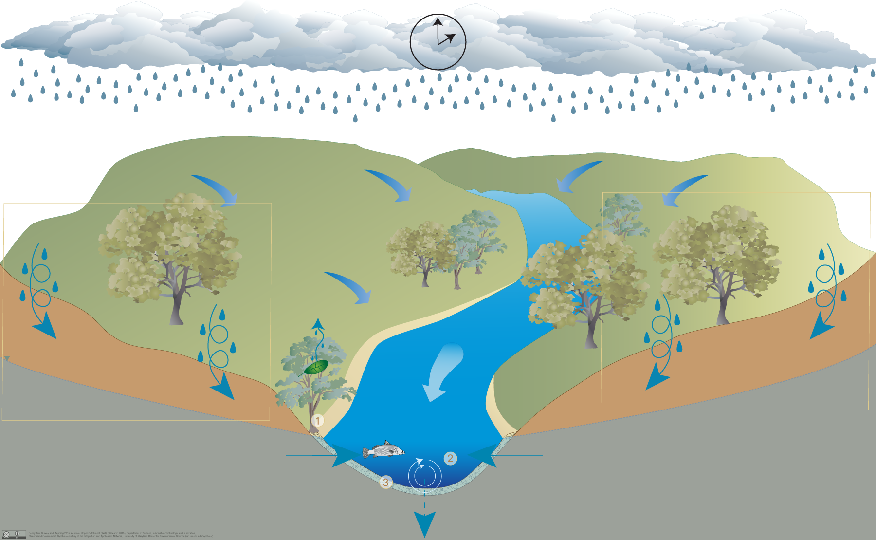
Upper catchment areas with little alluvial development
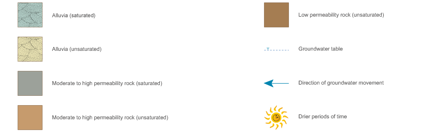
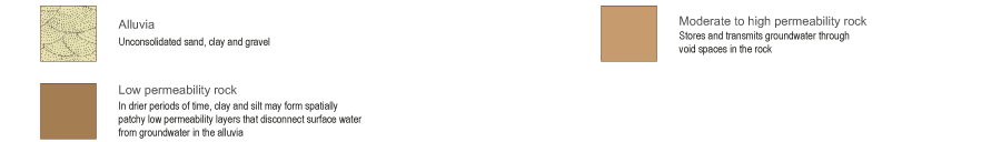
In upper catchments alluvial aquifers are formed from particles such as gravel, sand and minor silt or clay deposited by physical processes in channels. Alluvia may contain unconfined, unconsolidated sedimentary aquifers, where groundwater is stored and transmitted through intergranular voids between gravel and sand particles. In upper catchments channels may have little or no alluvial development, groundwater may move through surrounding permeable rocks into the limited alluvia present and discharge into channels.
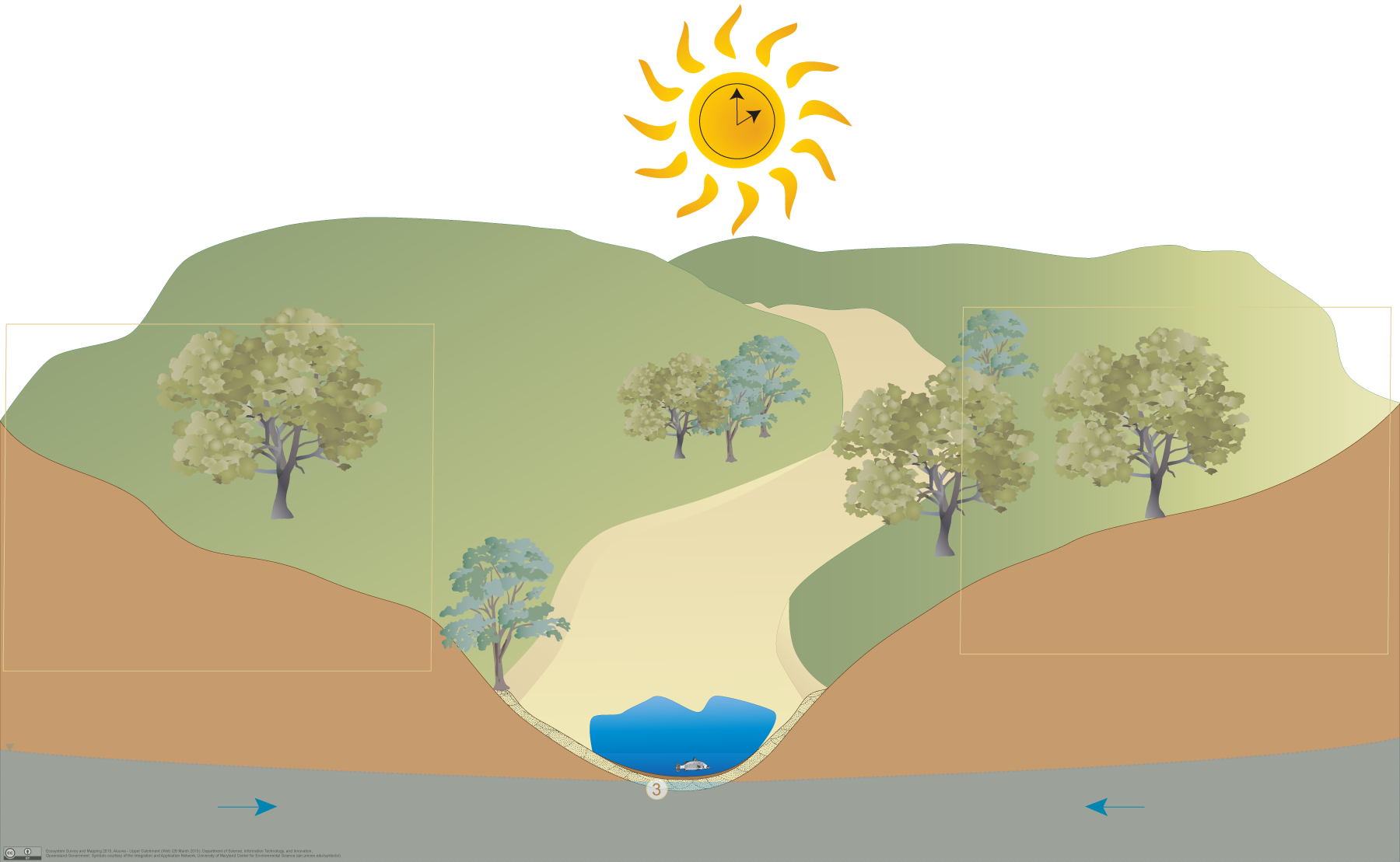
In drier months the groundwater table usually drops below the surface resulting in little or no baseflow. There may be some residual pools trapped by low permeability layers beneath the channels.
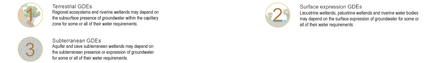
Unconsolidated sedimentary aquifers in upper catchment areas may provide a range of ecosystems with water required to support their fauna and flora communities, ecological processes and delivery of ecosystem services.
- Palustrine (e.g. swamps), lacustrine (e.g. lakes) and riverine (e.g. streams and rivers) wetlands may depend on the surface expression of groundwater from these unconsolidated sedimentary aquifers which are supported by surrounding permeable rocks.
- Terrestrial vegetation fringing channels on alluvia may depend on the subsurface presence of groundwater in these unconfined, sedimentary aquifers.
- Unconsolidated sedimentary aquifers in alluvial deposits may also support ecosystems within the aquifer itself, which sometimes is indicated by the presence of stygofauna.
Pictorial conceptual model PDF


 — Department of Environment, Science and Innovation