

|
|
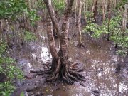
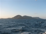
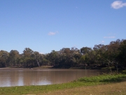
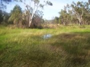
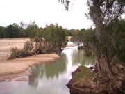
Wetland systems (aquatic ecosystems)Wetlands in Queensland have been classified into wetland systems (lacustrine, palustrine, riverine, estuarine, marine and subterranean) and discrete wetland habitat types on a state scale. Conceptual models are tools used to describe our current understanding of the ecology, components and processes that characterise these wetland types. These models can be used to learn about different wetland habitat types, to inform management and underpin research and monitoring.
Use the links on the picture below to find the wetland system you are interested in. More detailed wetland (aquatic ecosystem) habitat types can be found on the system pages. 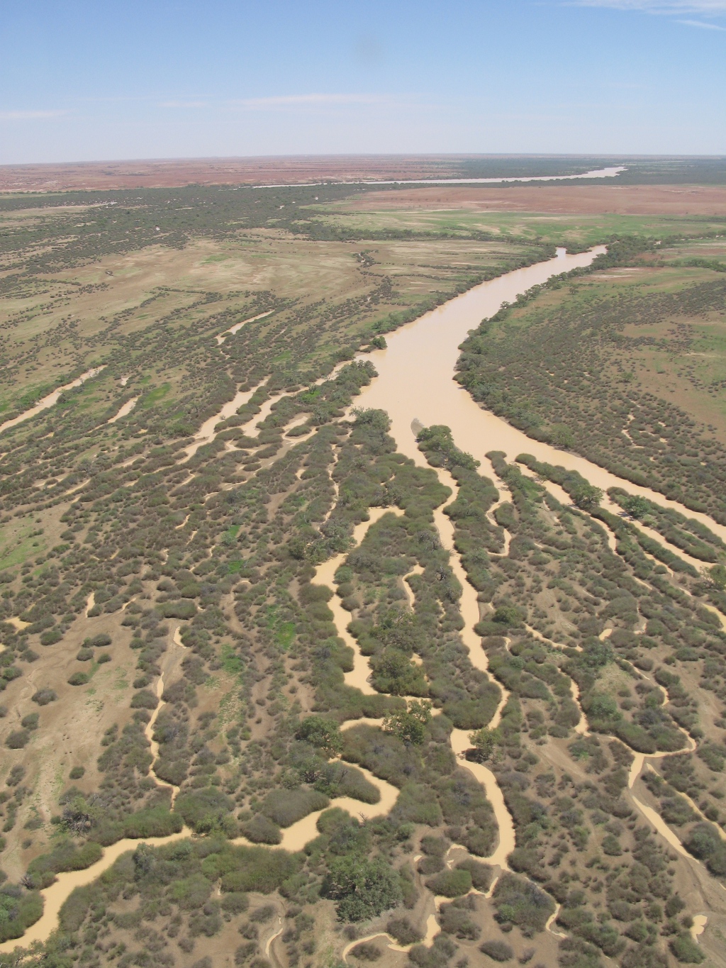 Quick facts
          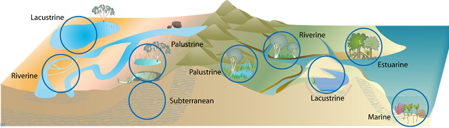
Pictorial conceptual models
Pictorial conceptual models of lacustrine, palustrine, riverine, estuarine, marine and groundwater dependent wetlands showing natural processes and components are concise and visually stimulating illustrations that use symbols or drawings to depict important features and processes of wetland environments. These models use the most current knowledge or understanding of an environment, presented in a way that is easy to understand. In addition to the types of wetlands outlined above, wetlands also form different patterns on, or interact with, the landscape in different ways. Endorheic wetlands: are closed systems that allow no outflow to other, external bodies of water such as oceans and rivers and are internally draining. The water instead drains into permanent and seasonal lakes that equilibrate through evaporation. Endorheic basins also are called closed basins, terminal wetlands, and internal drainage systems[3]. Wetland mosaics: form small regular or irregular patterns where multiple small wetlands exist in close proximity with each other. Wetlands in a mosaic can be longitudinally (river connectivity) and laterally (within floodplain) connected. They are connected spatially but also temporally, depending on flow regimes[2]. Wetland aggregations: Wetlands in an aggregation may be connected hydrologically, ecologically or biologically. Hydrological connections include surface water flows and groundwater flows. These connections may be permanent, e.g. a stream or groundwater flows, or intermittent such as periodic flooding[1]. Pages under this sectionReferences
Last updated: 22 March 2013 This page should be cited as: Department of Environment, Science and Innovation, Queensland (2013) Wetland systems (aquatic ecosystems), WetlandInfo website, accessed 8 May 2025. Available at: https://wetlandinfo.des.qld.gov.au/wetlands/ecology/aquatic-ecosystems-natural/ |
Site footer

 — Department of the Environment, Tourism, Science and Innovation