

|
|
Non-calcareous consolidated or intermediate substrateShort descriptionSubtidal consolidated or intermediate substrates of terrigenous (land-based) origin. Disclaimer: Ecosystem type descriptions are based on biophysical attributes identified in Central Queensland through expert advice and supported by scientific literature. Not all ecosystem types are mapped based on current inventory, and many of the ecosystems described here may also occur in other parts of Queensland.
Classification categoriesSelect from the links below to view related ecosystem type categories Long descriptionSubtidal consolidated or intermediate substrates of terrigenous (land-based) origin where biota extent is unsurveyed. The Lithology or rock type may influence the shape, chemistry and nature of the biota growing on these ecosystems. These ecosystems include:
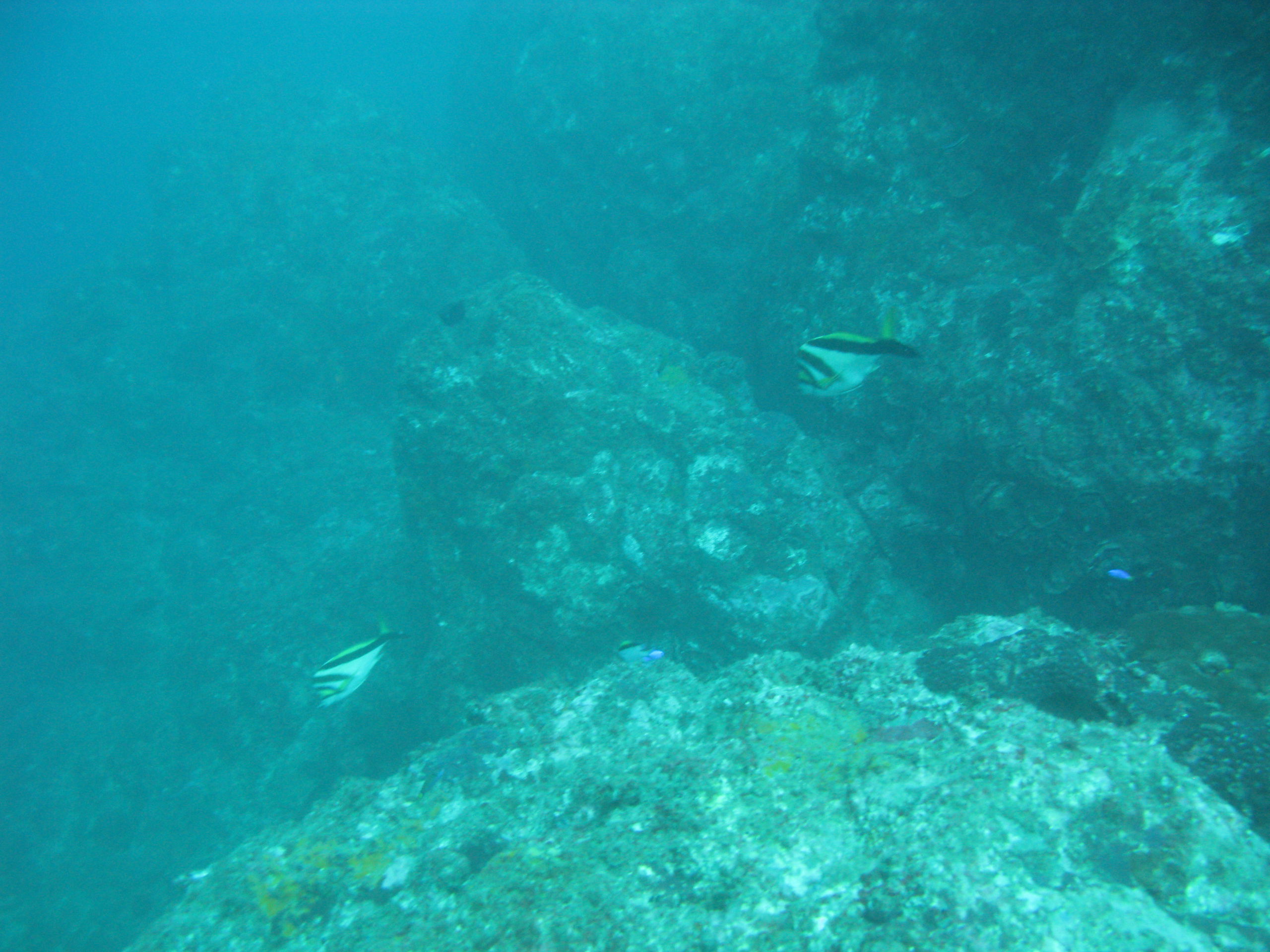
This ecosystem type also includes those where naturalness is modified (i.e. artificial structures made of concrete[1]). These ecosystem types do not support as diverse a fish fauna as natural reefs. Special valuesTerrigenous subtidal rocky reefs are important fish habitats, as are coffee rock ecosystems as they provide staging posts for fish, existing in areas largely devoid of structure and surrounded by unconsolidated ecosystems. Grey nurse sharks are an endangered species (Environment Protection and Biodiversity Conservation Act (EPBC)-listed) associated with deep rocky reefs. Depending on depth, a variety of coral reef fish may be present, such as mangrove jack etc. Other tropical coral reef snappers occur in deep to very deep waters (e.g. red emperor, scarlet sea perch, crimson sea perch). Pearl perch occur on the very deep reefs in subtropical waters. Coffee rock reefs are habitat to slatey bream, seasonal coral trout and wrasses, and grass sweetlip. Rocky reefs and coffee reefs which are submerged below depths of 10m or more usually provide habitat for pelagic fish in the water column above them[4]. These ecosystems may contain unmapped coral (see the contains attribute field for the keyword ‘coral’). Where coral is directly growing on rock and biota is unsurveyed, the terrigenous subtidal rocky reefs may also be coral communities[5] (see figure in type 100). Rocky reefs may include erect macrophytic algae, see type 55. Coffee rock reefs may include reefal gardens, refer to types 98 and 117. Diagnostic attributesInundation 'Subtidal' Consolidation 'Consolidated', 'Intermediate' Substrate composition 'Terrigenous' (i.e. land based) QualifiersCan also include modified ecosystem types such as subtidal parts of boat ramps, jetties and port infrastructure. The biota growing on these ecosystems would be very different from that growing on natural rocky or coffee rock ecosystems[2][1]. DistributionSubtidal rocky reefs are found throughout Queensland, generally occurring as outcrops of terrestrial and intertidal geological formations. Subtidal coffee rock reefs are more prevalent in the lee of large sand systems in southern Queensland from Fraser Island southward. The following relates to distribution of this ecosystem type within the Central Queensland mapping area:
CommentsIntermediate substrates mapped to date are coffee rock. Extent comments for type 100 (calcareous consolidated or intermediate) also apply to the extent of this type (i.e. these ecosystems require better bathymetry inventory and biota inventory to confirm the extent of coral or other biota). Additional InformationReferences
Last updated: 22 July 2019 This page should be cited as: Department of Environment, Science and Innovation, Queensland (2019) Non-calcareous consolidated or intermediate substrate, WetlandInfo website, accessed 8 May 2025. Available at: https://wetlandinfo.des.qld.gov.au/wetlands/ecology/aquatic-ecosystems-natural/estuarine-marine/descriptions/101/ |
Site footer

 — Department of the Environment, Tourism, Science and Innovation