

|
|
Intertidal substrate of unknown consolidation outside channelShort descriptionIntertidal area outside of a channel where consolidation, energy, biota and texture are unknown. Disclaimer: Ecosystem type descriptions are based on biophysical attributes identified in Central Queensland through expert advice and supported by scientific literature. Not all ecosystem types are mapped based on current inventory, and many of the ecosystems described here may also occur in other parts of Queensland.
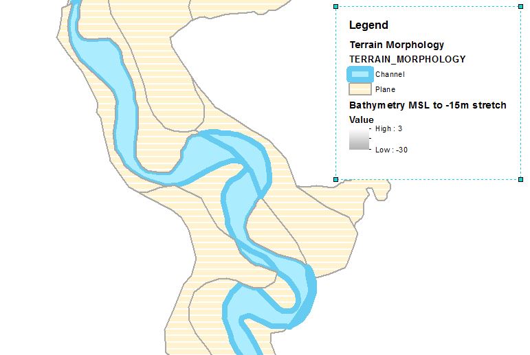
Classification categoriesSelect from the links below to view related ecosystem type categories Long descriptionIntertidal area outside of a channel where consolidation, energy, biota and texture are unknown. Tidal extent may be poorly differentiated. Potentially includes brackish and freshwater wetlands, tidally inundated pools and flats, tidal areas without remnant vegetation (e.g. agricultural cultivation). See also ecosystem type (119). Special valuesMay contain pools (Terrain morphology 'pit' or depression') with intermittent hydrological connections of tidal and freshwater flows which are potential fish nurseries for barramundi[1] This connectivity can contribute to genetic diversity and provide refugia. Diagnostic attributesInundation 'Intertidal – Lower low', 'Intertidal – Mid low', 'Intertidal – Upper low', 'Intertidal – Low undifferentiated', 'Intertidal – Lower medium', 'Intertidal – Upper-medium', 'Intertidal – Medium undifferentiated', 'Intertidal – High', 'Intertidal – Undifferentiated', 'Intertidal – High undifferentiated' Consolidation 'Unknown' Sediment texture 'Unknown' Terrain morphology 'Plane', 'Ridge', 'Crest', 'Crest (undifferentiated)', 'Pit', 'Depression (undifferentiated)' Structural macrobiota 'Unknown' QualifiersThe Naturalness qualifier may be relevant where artificial ridges and crests modify tidal inundation. Artificial pools and depressions will also alter hydrology and potentially activate acid sulfate soils. DistributionThe following relates to distribution of this ecosystem type within the Central Queensland mapping area:
CommentsNone. References
Last updated: 12 July 2019 This page should be cited as: Department of Environment, Science and Innovation, Queensland (2019) Intertidal substrate of unknown consolidation outside channel, WetlandInfo website, accessed 30 August 2024. Available at: https://wetlandinfo.des.qld.gov.au/wetlands/ecology/aquatic-ecosystems-natural/estuarine-marine/descriptions/42/ |
Site footer

 — Department of Environment, Science and Innovation