

|
|
Subtidal low energy over sandShort descriptionSubtidal low energy sandy ecosystems including subtidal sandbanks and sand shoals where biota is either unmapped or absent. Disclaimer: Ecosystem type descriptions are based on biophysical attributes identified in Central Queensland through expert advice and supported by scientific literature. Not all ecosystem types are mapped based on current inventory, and many of the ecosystems described here may also occur in other parts of Queensland.
Classification categoriesSelect from the links below to view related ecosystem type categories Long descriptionSubtidal low to very low energy sandy ecosystems including subtidal sandbanks and sand shoals, occurring within bays, rivers, streams and estuaries and open low energy coastlines– including major passage estuaries such as the Great Sandy Strait. This ecosystem is associated with type 104 but further from the energy source (estuary, beach). These areas are more likely to be areas of deposition and the relevant processes are the northward process of longshore drift due to wave wash and backwash. Previously during times of lower sea level, these areas may have formed part of exposed sand dune systems and have resulted in the morphology formations such as large undersea dunes. Special valuesLow energy sand ecosystems within swales of subtidal dune systems within swales existing between subtidal dune systems may be areas of higher marine productivity, e.g. for biota such as scallops (Tony Courtney DAF and James Daniell JCU pers. Comm). Sand systems offshore from turtle nesting beaches are inter-nesting habitat for turtles, where they go to incubate eggs before the next laying[1]. These areas are likely to contain unmapped areas of seagrass which are potential habitat for dugong and green turtles. Diagnostic attributes:Inundation ‘Subtidal’ Sediment texture ‘Sand’, ‘(slightly gravelly) Sand’, ‘gravelly muddy Sand’, ‘gravelly Sand’, ‘(slightly gravelly) muddy Sand’ Energy magnitude (wave) ‘Low’, ‘Very low’ QualifiersAlthough Naturalness qualifiers for these ecosystems are currently unmapped, these areas often form part of trawl grounds for species such as prawns and scallops. DistributionThe following relates to distribution of this ecosystem type within the Central Queensland mapping area:
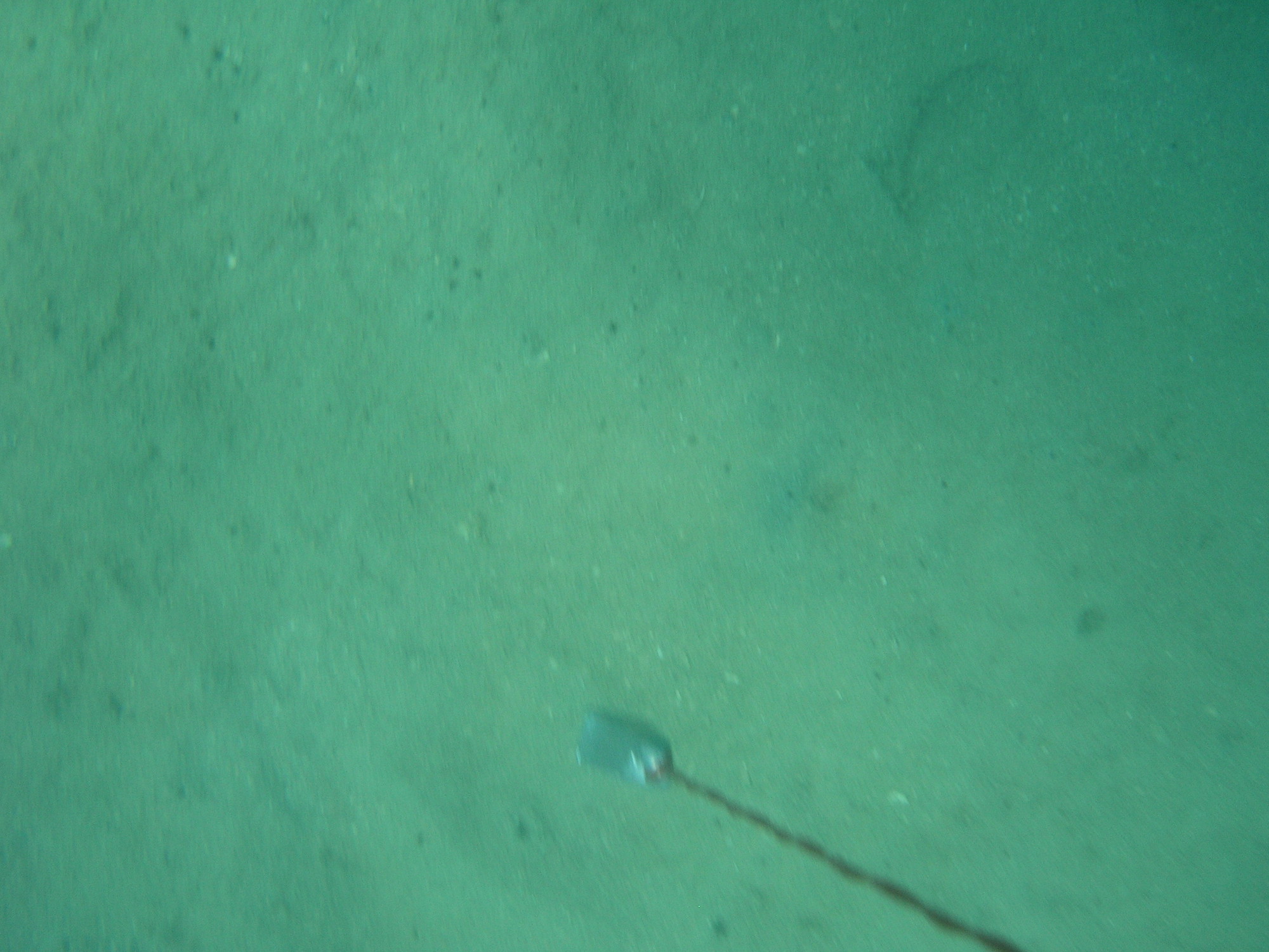
CommentsSubtidal sand systems may function very differently depending on whether they are part of a dune system or swale. Research of the FRDC 2018-048 project found areas of high biota diversity in the sandy and gravelly swales associated with subtidal dune systems. The study multi-beam sonar backscatter and field data to identify low relief dune-like Morphology (of compact shelly muddy sand) in depths of 29 to 35 metres, with the scallops mostly in the (low backscatter) swales with the finer sediment. A remote operated vehicle captured sea floor images, and benthic ecosystems are being analysed by Fathom Pacific. Relevant attributes include Terrain morphology i.e. crests and peaks can form part of dunes, channels and depressions may correlate to swales. Planes are flat areas. Further delineation of subtidal dunes and swales may be possible by including the terrain attribute Slope. References
Last updated: 19 July 2019 This page should be cited as: Department of Environment, Science and Innovation, Queensland (2019) Subtidal low energy over sand, WetlandInfo website, accessed 25 June 2024. Available at: https://wetlandinfo.des.qld.gov.au/wetlands/ecology/aquatic-ecosystems-natural/estuarine-marine/descriptions/105/ |
Site footer

 — Department of Environment, Science and Innovation