

|
|
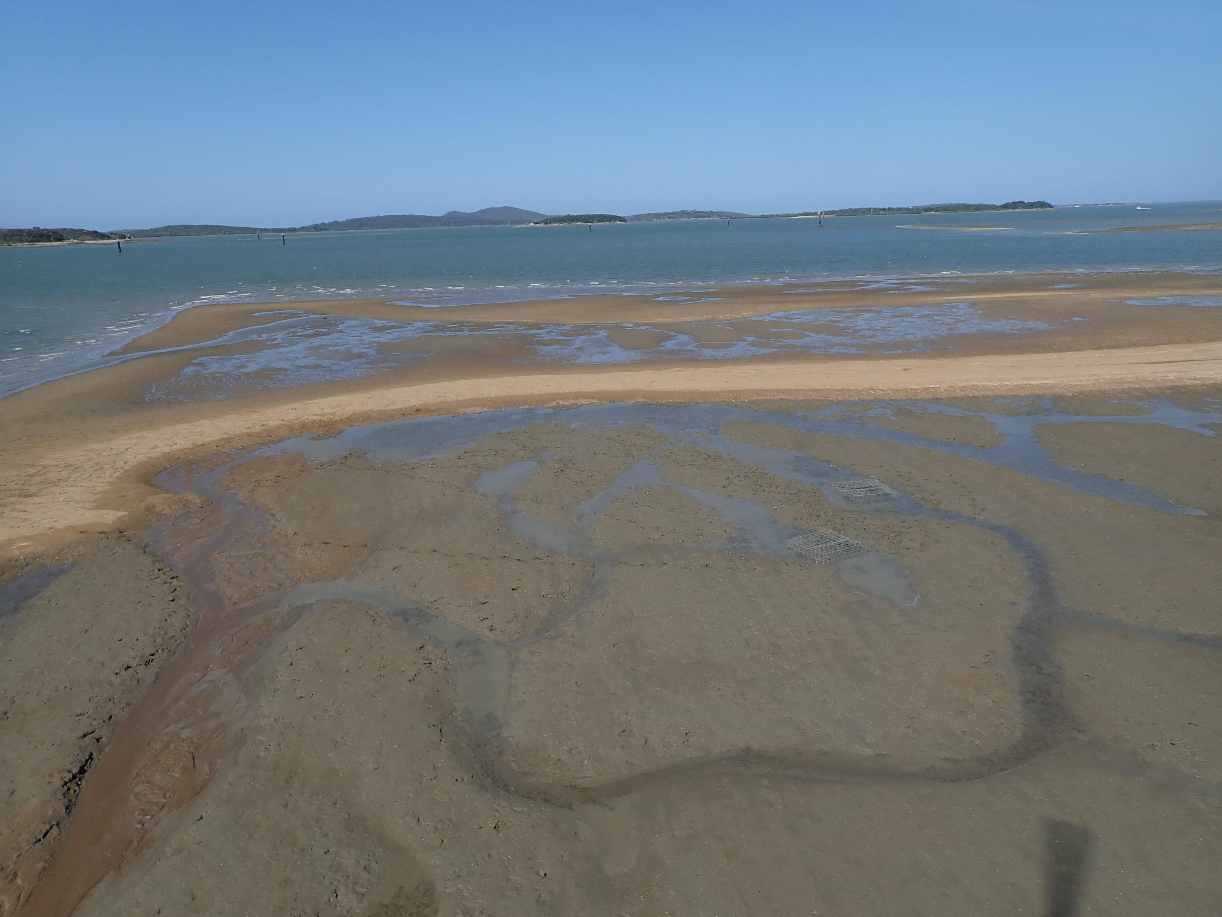
Intertidal high energy over mud below mean sea levelShort descriptionIntertidal high energy over mud banks below mean sea level. Disclaimer: Ecosystem type descriptions are based on biophysical attributes identified in Central Queensland through expert advice and supported by scientific literature. Not all ecosystem types are mapped based on current inventory, and many of the ecosystems described here may also occur in other parts of Queensland.
Classification categoriesSelect from the links below to view related ecosystem type categories Long descriptionIntertidal very high to moderate wave energy over mud banks below mean sea level. High wave energy areas typically have high grain size, and these areas are more likely to include gravelly muds, as finer muds are likely to be washed away or re-suspended. Re-suspension of mud or silt in the water column is problematic for photosynthetic biota such as seagrasses, which need Water clarity to enable light penetration required to make food. Suspended sediment can also settle on the intertidal seagrass ecosystems causing mortality[1]. Special valuesPotentially these areas are habitat for non-filter feeding infauna (bottom feeding detritus - e.g. polychaete worms), and habitat for filter-feeders in highly riverine or strong current areas with slightly clearer water. Can provide habitat for recreationally and commercially important fishes and crustaceans. This tends to be the case in lower energy environments in association with mangroves. Important to shorebird feeding, with many shorebirds Environment Protection and Biodiversity Conservation Act 1999-listed species (EPBC). Diagnostic attributesInundation 'Intertidal – Lower low', 'Intertidal – Mid low', 'Intertidal – Upper low', 'Intertidal – Low undifferentiated', 'Intertidal – Lower medium', 'Intertidal – Upper-medium', 'Intertidal – Medium undifferentiated' Energy magnitude (wave) 'Very high', 'High', 'Medium' Sediment texture 'MUD', 'gravelly MUD', 'muddy SAND', '(slightly gravelly) sandy MUD', '(slightly gravelly) MUD', 'sandy MUD' (note that the dominant grain size is capitalised) QualifiersCan include, or be adjacent to, the intertidal sections of mapped modified ecosystems that have modified Benthic depth and Terrain morphology including dredged channels, boat harbours, depressions near boat ramps etc., however these structures tend to be more common in low energy environments. Although unmapped, Period and Trend qualifiers are also relevant as the Energy magnitude may also vary seasonally and episodically with respect to wave action. DistributionCommon up and down the Queensland coast, particularly in association with river mouths along exposed coastlines. Wind action resuspends muddy sediments where they are found in the Great Barrier Reef lagoon[1]. The following relates to distribution of this ecosystem type within the Central Queensland mapping area:
CommentsStandardising wave models between local and national scales is problematic and may result in mis-matches in Energy magnitude (wave) mapping. Incorporating the attribute of Energy source by creating a typology of other forms of energy such as riverine and current to form a benthic stress model would more accurately model areas where mud is likely to be resuspended within the water column. Additional InformationIntertidal mud flats - Queensland Museum Reef 2050 Water Quality Improvement Plan - Australian Government References
Last updated: 18 July 2019 This page should be cited as: Department of Environment, Science and Innovation, Queensland (2019) Intertidal high energy over mud below mean sea level, WetlandInfo website, accessed 25 June 2024. Available at: https://wetlandinfo.des.qld.gov.au/wetlands/ecology/aquatic-ecosystems-natural/estuarine-marine/descriptions/28/ |
Site footer

 — Department of Environment, Science and Innovation