

|
|
Subtidal low energy over unknown substrate in shallow to deep waterShort descriptionSubtidal low energy areas in shallow to deep water (0-30m). Disclaimer: Ecosystem type descriptions are based on biophysical attributes identified in Central Queensland through expert advice and supported by scientific literature. Not all ecosystem types are mapped based on current inventory, and many of the ecosystems described here may also occur in other parts of Queensland.
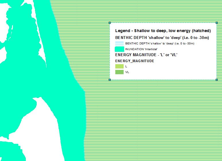
Classification categoriesSelect from the links below to view related ecosystem type categories Long descriptionSubtidal low to very low energy areas in shallow to deep water (0-30m) where the substrate is unmapped due to no data available. As this typology applies wave energy, energy source is also relevant and mapping may differ if areas of high subtidal energy due to current was used to subdivide existing low wave energy data. Typically low energy substrates are away from high energy beaches, deeper channels and creek/river mouths where wave and current energy tend to both be higher. Special valuesDiagnostic attributes:Inundation ‘Subtidal’ Benthic depth ‘Shallow (0-10m)’, ‘Deep (10-30m)’ Energy magnitude (wave) ‘Low’, ‘Very low’ Consolidation 'Unknown' Structural macrobiota 'Unknown' Sediment texture 'Unknown' Substrate composition 'Unknown' QualifiersAlthough Naturalness qualifiers for these ecosystems are currently unmapped, these areas often form part of trawl grounds for species such as prawns and scallops. DistributionThe following relates to distribution of this ecosystem type within the Central Queensland mapping area:
CommentsSubtidal sand systems may function very differently depending on whether they are part of a dune system or swale. Research as part of the FRDC 2018-048 project found areas of high biota diversity in the sandy and gravelly swales associated with subtidal dune systems. The study used multi-beam sonar backscatter and field data to identify low relief dune-like Morphology (of compact shelly muddy sand) in depths of 29 to 35 metres, with the scallops mostly in the (low backscatter) swales with the finer sediment. A remote operated vehicle captured sea floor images, and benthic ecosystems are being analysed Relevant attributes include Terrain morphology (i.e. crests and peaks can form part of dunes, channels and depressions may correlate to swales). Planes are flat areas. Further delineation of subtidal dunes and swales may be possible by including the terrain attribute Slope. This typology is restricted to wave energy. Application of the Energy source attribute in a typology combining both wave and current energy datasets to produce a dataset reflecting seabed stress would result in a mappable type if used to split unconsolidated types. Last updated: 22 July 2019 This page should be cited as: Department of Environment, Science and Innovation, Queensland (2019) Subtidal low energy over unknown substrate in shallow to deep water, WetlandInfo website, accessed 25 June 2024. Available at: https://wetlandinfo.des.qld.gov.au/wetlands/ecology/aquatic-ecosystems-natural/estuarine-marine/descriptions/111/ |
Site footer

 — Department of Environment, Science and Innovation