|
|
Central Queensland Ambient Estuary ProgramCoverageThe map below highlights the areas where sampling has occurred for this program. Click on the map to view information about the drainage basins in this area. Program start date1993 Program end dateOngoing but subject to review Objectives of the programThis program aims to provide:
Who is involved?Lead organisationDepartment of the Environment, Tourism, Science and Innovation Contact details of lead organisation: water.data♲qld.gov.au Partner organisationsNo partner organisations List of indicators monitored
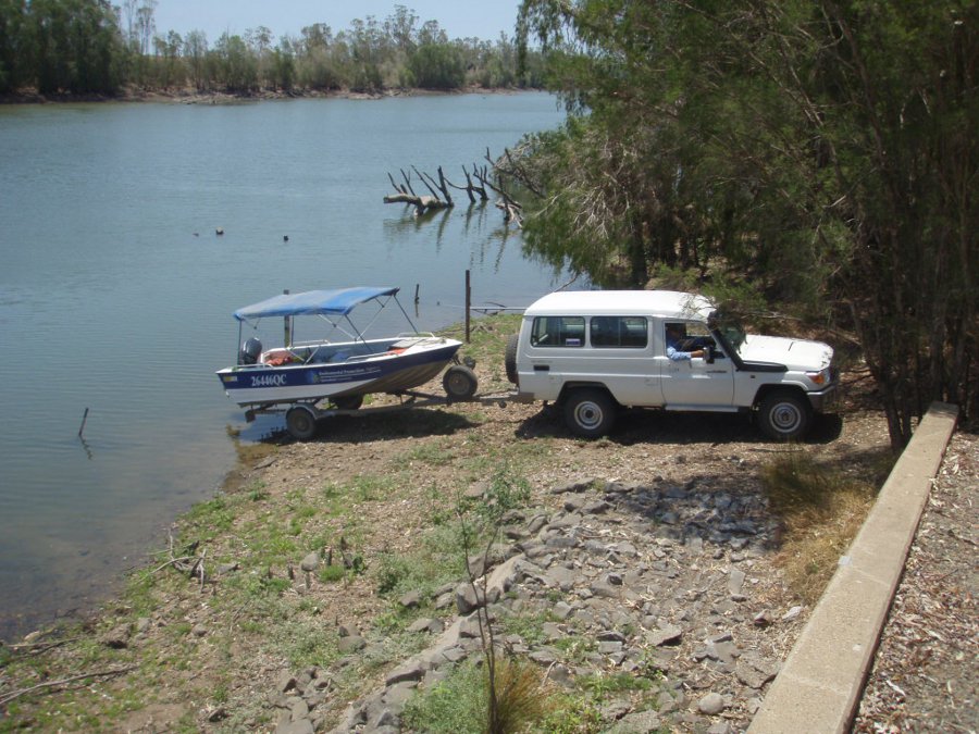
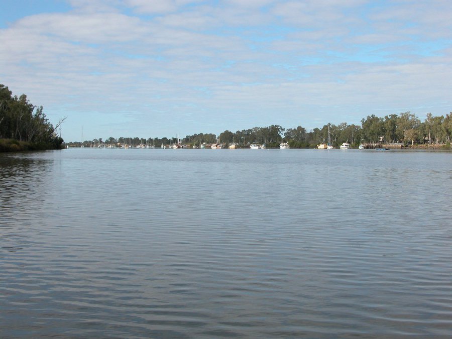
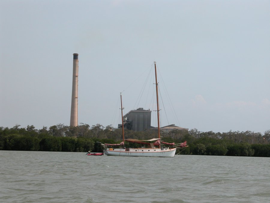
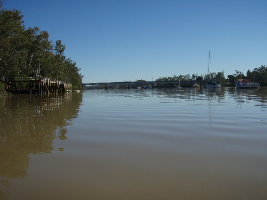
Scale of programRegional scale Brief description of sampling locationsMonitoring is conducted in ten estuaries and inshore coastal areas from Tin Can Inlet north to the Fitzroy Estuary. Frequency of monitoringMonthly Where is the program reported?Data from the program has been assessed in the Report on the Long-term Water Quality Monitoring of Estuaries and Inshore Coastal Waters in Central Queensland. Further work with the Burnett–Mary Regional Group has occurred in response to the above report. This is available from the Burnett–Mary Region State of the Estuarine Environment Report. Last updated: 22 March 2013 This page should be cited as: Department of Environment, Science and Innovation, Queensland (2013) Central Queensland Ambient Estuary Program, WetlandInfo website, accessed 8 May 2025. Available at: https://wetlandinfo.des.qld.gov.au/wetlands/assessment/monitoring/current-and-future-monitoring/central-queensland-ambient-estuary-program.html |

 — Department of the Environment, Tourism, Science and Innovation


