

|
|
Reef Water Quality Protection Plan (Reef Plan) Paddock to Reef Integrated Monitoring, Modelling and Reporting Program (Paddock to Reef Program)CoverageThe map below highlights the areas where sampling has occurred for this program. Click on the map to view information about the drainage basins in this area. 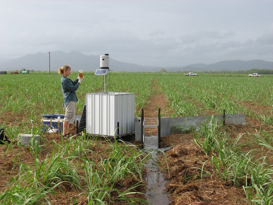   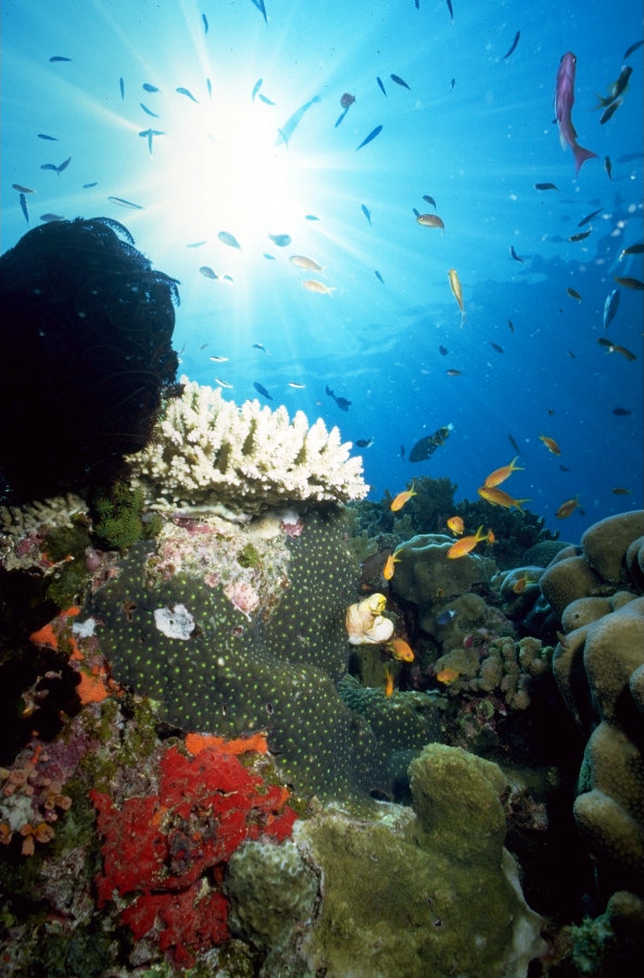 Program start dateThe Paddock to Reef Program commenced in early 2010. Program end dateThe Paddock to Reef Program is currently committed until 2018, with the possibility of extension. Objectives of the programThe Paddock to Reef Program long term goal:
There are a suite of management practices, catchment condition and water quality targets identified to achieve this goal. The Reef Water Quality Protection Plan aims to:
Who is involved?Lead organisationJoint Australian and Queensland Government initiative. The program is coordinated by the Department of the Premier and Cabinet. Contact details of lead organisation: reefplan♲premiers.qld.gov.au Partner organisationsImplementation of the program is a collaborative effort, including the Department of the Premier and Cabinet; Department of the Environment, Tourism, Science and Innovation; Great Barrier Reef Marine Park Authority; Department of Sustainability, Environment, Water, Population and Communities; regional natural resource management (NRM) groups; Commonwealth Scientific and Industrial Research Organisation (CSIRO); TropWATER-Tropical Water and Aquatic Ecosystem Research; agricultural industry groups; research and development organisations; and environment and community groups. List of indicators monitoredWater quality indicators (at paddock, sub-catchment and basin scales)
Further information is available on the Reef Rescue Marine Monitoring Program. The Paddock to Reef Program also assesses the levels of adoption of improved land management practices for each of the key agricultural industries in the Reef catchments each year. This is assessed against agreed industry ABCD land management practice frameworks. For a summary of this see the land practice section of the Reef Report Card. Scale of programRegional, catchment and/or basin, sub-catchment and paddock scales Brief description of sampling locationsMonitoring sites are located throughout the Cape York, Wet Tropics, Burdekin, Mackay-Whitsunday, Fitzroy and Burnett-Mary regions. Further information on the location of monitoring sites. Frequency of monitoringPaddock-scale and catchment-loads monitoring is event driven. Ambient sampling of catchment loads sites is also undertaken monthly. Rainfall simulation monitoring is undertaken over the mid-year period when natural rainfall is limited. For the marine component, inshore water quality monitoring utilises standard water sampling and analysis techniques, as well as remote sensing techniques and in situ sensors with long-term data logging capacity.
Flood plume monitoring is event driven. It is carried out in marine waters adjacent to targeted catchments along a north-east transect away from the river mouth, in the wet and dry tropics depending on flood conditions. Techniques include 'grab' sampling of surface water and deployment of passive samplers for pesticides. The extent of flood plume movement across inshore waters of the Great Barrier Reef is assessed using images from aerial flyovers and remote sensing. Seagrass habitat status is monitored at 30 sites across 15 locations in the Great Barrier Reef, including nine inshore (intertidal coastal and estuarine) and six offshore reef intertidal locations with three transects monitored per site in both late dry and monsoon seasons. Seagrass reproductive effort (presence of seeds and the number of reproductive structures on the plant) is also assessed bi-annually. Coral reef status is assessed at 30 inshore reefs. At each reef, two sites are monitored at two depths (2 m and 5 m) across five replicate transects. Reefs are designated as either ‘core’ or ‘cycle’ reefs, in which specific coral community attributes are assessed on an annual or biannual basis, respectively. The reefs are located in the Wet Tropics, Burdekin, Mackay Whitsunday and Fitzroy regions. Of these reefs, 15 are surveyed annually, with an additional 17 reefs surveyed every second year. Monitored reefs lie along a gradient of exposure to run-off and comprehensive water quality measurements are collected at each of the coral reef sites. Where is the program reported?Last updated: 18 November 2015 This page should be cited as: Department of Environment, Science and Innovation, Queensland (2015) Reef Water Quality Protection Plan (Reef Plan) Paddock to Reef Integrated Monitoring, Modelling and Reporting Program (Paddock to Reef Program), WetlandInfo website, accessed 8 May 2025. Available at: https://wetlandinfo.des.qld.gov.au/wetlands/assessment/monitoring/current-and-future-monitoring/paddock-reef-program.html |
Site footer

 — Department of the Environment, Tourism, Science and Innovation