|
|
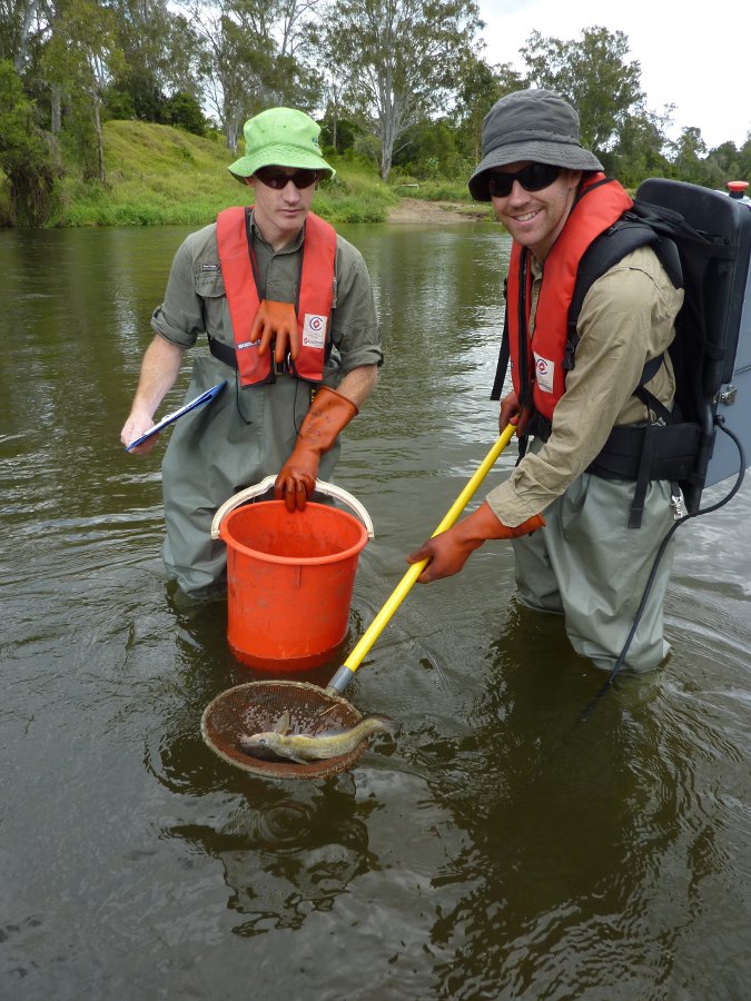
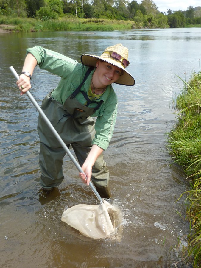
Ecosystem Health Monitoring Program – FreshwaterCoverageThe map below highlights the areas where sampling has occurred for this program. Click on the map to view information about the drainage basins in this area. Program start date2002 Program end dateOngoing Objectives of the programThis program aims to:
Who is involved?Lead organisationContact details of lead organisation: hwwinfo♲healthywaterways.org Partner organisationsEcosystem Health Monitoring Program Partners List of indicators monitored
Scale of programRegional scale Brief description of sampling locations135 sites on natural freshwater (non-tidal) waterways within South East Queensland, ranging from the Noosa River in the north, south to the Queensland-New South Wales border and west to the Great Dividing Range. Frequency of monitoringBi-annually - in spring (October-November, pre-wet season) and autumn (April-May, post-wet season). Where is the program reported?Ecosystem Health Monitoring Program Last updated: 18 November 2015 This page should be cited as: Department of Environment, Science and Innovation, Queensland (2015) Ecosystem Health Monitoring Program – Freshwater, WetlandInfo website, accessed 8 May 2025. Available at: https://wetlandinfo.des.qld.gov.au/wetlands/assessment/monitoring/current-and-future-monitoring/ecosystem-health-monitoring-freshwater.html |

 — Department of the Environment, Tourism, Science and Innovation


