|
|
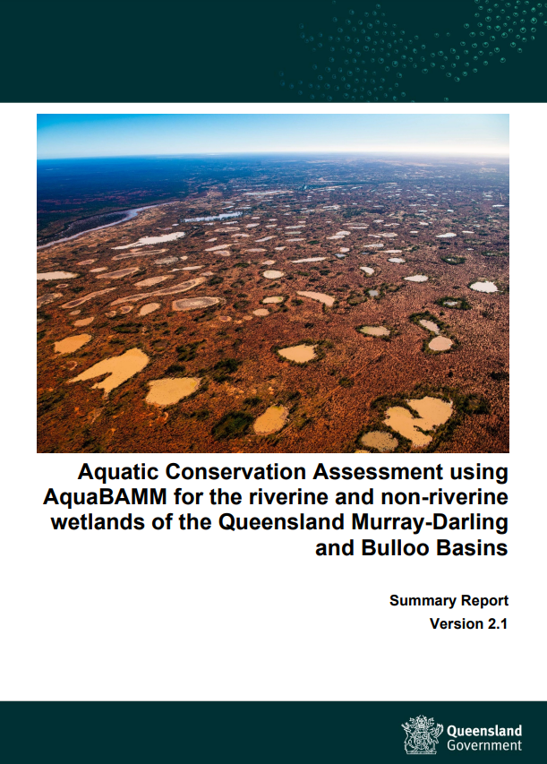
Queensland Murray-Darling and Bulloo BasinsThe Queensland Murray-Darling and Bulloo Basins contain a wide range of wetland types (riverine and non-riverine) within the 4 distinct bioregions of the southern Brigalow Belt, the New England Tablelands, the Mulga Lands and the Channel Country. As a result, many diverse wetland types with their individual characteristics of geomorphology, hydrology, habitat and species composition are found throughout the region. The Bulloo Basin is included in this assessment to align with Natural Resource Management boundaries and the Healthy Waters Management Plans. This new version supersedes the Bulloo assessment that was part of the Lake Eyre and Bulloo Basins ACA (2016) and the Queensland Murray-Darling Basin ACA (2011). View the Aquatic Conservation Assessment using AquaBAMM for the riverine and non-riverine wetlands of the Queensland Murray-Darling and Bulloo Basins Summary Report, Flora, Fauna and Ecology Expert Panel Report and Information Sheet. Find out more about accessing the data and reports on the get mapping help page. The riverine and non-riverine data and reporting (information on specific environmental values, by location) may be accessed through WetlandMaps. Information on specific environmental values, by location, is also available via Environmental reports online. For further information on AquaBAMM and the ACA results email biodiversity.planning♲des.qld.gov.au Quick facts
Last updated: 11 December 2022 This page should be cited as: Department of Environment, Science and Innovation, Queensland (2022) Queensland Murray-Darling and Bulloo Basins, WetlandInfo website, accessed 8 May 2025. Available at: https://wetlandinfo.des.qld.gov.au/wetlands/assessment/assessment-methods/aca/queensland-murray-darling-bulloo.html |

 — Department of the Environment, Tourism, Science and Innovation


