

|
|
Pioneer Valley Water Board MonitoringCoverageThe map below highlights the areas where sampling has occurred for this program. Click on the map to view information about the drainage basins in this area. 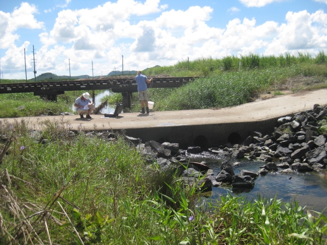 Program start date1/01/2007 Program end dateOngoing Objectives of the programWater quality monitoring Drivers for monitoring programContracted Who is involved?Lead organisationContact details of lead organisation: reception♲reefcatchments.com Partner organisationsPioneer Valley Water Board List of indicators monitoredpH, EC, DO, water and air temp, turbidity, weather conditions, last rainfall, water level, water flow rate, stream data (width, depth, erosion, siltation), water appearance, water odour, exotic water plants, algal types, fish, riparian vegetation width and condition and a rapid geomorphic assessment Scale of programRegion Brief description of sampling locations
Frequency of monitoringFour times per year Where is the program reported?Pioneer Valley Water Board Frequency of ReportingAnnually Last updated: 22 March 2013 This page should be cited as: Department of Environment, Science and Innovation, Queensland (2013) Pioneer Valley Water Board Monitoring, WetlandInfo website, accessed 8 May 2025. Available at: https://wetlandinfo.des.qld.gov.au/wetlands/assessment/monitoring/current-and-future-monitoring/pioneer-valley-water-board-monitoring.html |
Site footer

 — Department of the Environment, Tourism, Science and Innovation