|
|
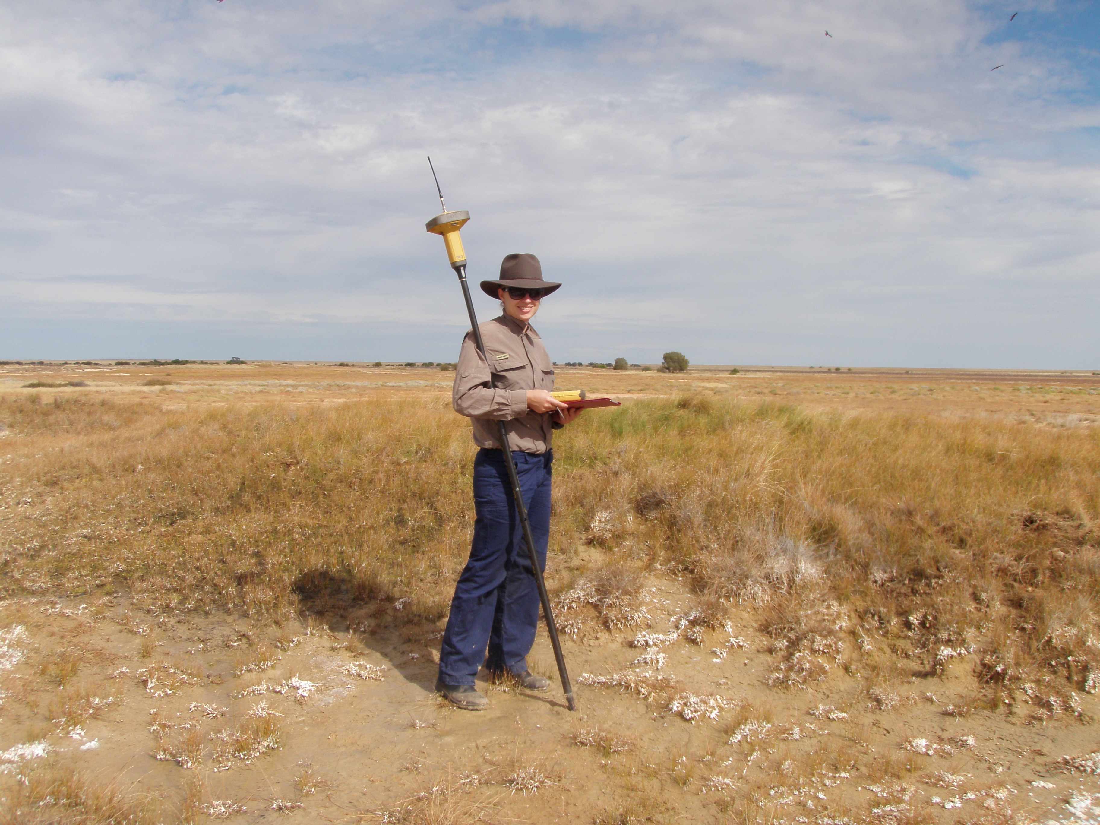
Great Artesian Basin Springs Monitoring ProgramCoverageThe map below highlights the areas where sampling has occurred for this program. Click on the map to view information about the drainage basins in this area. Program start dateProgram commenced in 2011, following a pilot in 2008 Program end dateCurrent until 2016 Objectives of the programTo examine the relationship between spring flows and vegetated wetland area in order to monitor groundwater flows from springs. This is to improve the water resource plans in the Great Artesian Basin. Who is involved?Lead organisationDepartment of Natural Resources and Mines Contact details of lead organisation: water.monitoring♲dnrm.qld.gov.au Partner organisationsNo partner organisations List of indicators monitored
Scale of programBasin scale Brief description of sampling locationsSix sites across the Great Artesian Basin – Edgbaston/Myross (Barcaldine North), Elizabeth (North West), Abercorn (Mulgildie), Spring Rock (Surat North), Moorabinda (Surat North) and Yowah Creek (Warrego East). Frequency of monitoringAt least once every three years Where is the program reported?Report to be published online following completion of monitoring Last updated: 22 March 2013 This page should be cited as: Department of Environment, Science and Innovation, Queensland (2013) Great Artesian Basin Springs Monitoring Program, WetlandInfo website, accessed 8 May 2025. Available at: https://wetlandinfo.des.qld.gov.au/wetlands/assessment/monitoring/current-and-future-monitoring/great-artesian-basin-springs-monitoring-program.html |

 — Department of the Environment, Tourism, Science and Innovation


