

|
|
AssessmentThe process of assessing wetlands for the purposes of management and/or to determine funding and investment opportunities can be a complex one. Wetland assessment uses data gathered by wetland inventories. It is important to recognise that assessment requires the analysis of data and uses specialised methodologies and techniques. Assessment involves judgement, comparison and prediction. This information is then used to recommend priority areas for wetland management or investment purposes. Given the broad scope of wetland types many assessment techniques have been developed for use in Australia. Wetland inventories are the collection of standardised data about wetlands from available data sources or through surveys. Wetland monitoring involves measuring wetland indicators over time that are known to indicate change in extent, condition, features or values.
Quick facts
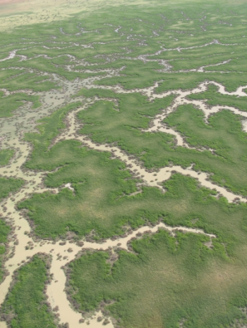
A landscape hazard assessment for wetlands in the Great Barrier Reef catchment This report details the approach taken to assess hazards to lacustrine and palustrine wetlands in the Great Barrier Reef (GBR) catchments in Queensland. It provides a landscape scale assessment of hazard (as opposed to fully quantified 'risk') arising from land-use, and is conducted as a desktop GIS analysis. This report details the approach taken to assess hazards to lacustrine and palustrine wetlands in the Great Barrier Reef (GBR) catchments in Queensland. It provides a landscape scale assessment of hazard (as opposed to fully quantified 'risk') arising from land-use, and is conducted as a desktop GIS analysis.
There are many ecological, social and economic reasons for wetland assessment. Assessment methods should be specific and purpose driven. Scientists and resource managers rely on wetland assessments to guide decision making, increase community awareness and identify long-term trends in the condition of wetlands. Assessments may be undertaken to:
When commencing an assessment it is important to consider the type and scale of the assessment, the range of methods and resources available, and the accuracy of the final results. For example, if the outcome requires the prioritisation of wetlands for funding purposes, an assessment based on biodiversity alone may be inadequate and community capacity criteria may also need to be included. Great Barrier Reef vulnerability assessmentsAs an integral part of the Great Barrier Reef Biodiversity Conservation Strategy 2013, vulnerability assessments are being undertaken on habitats, species and groups of species identified as being potentially at risk. These assessments will help inform the strategy's management priorities. A landscape hazard assessment for wetlands in the Great Barrier Reef catchment This report details the approach taken to assess hazards to lacustrine and palustrine wetlands in the Great Barrier Reef (GBR) catchments in Queensland. It provides a landscape scale assessment of hazard (as opposed to fully quantified 'risk') arising from land-use, and is conducted as a desktop GIS analysis. Wetland on-line education modules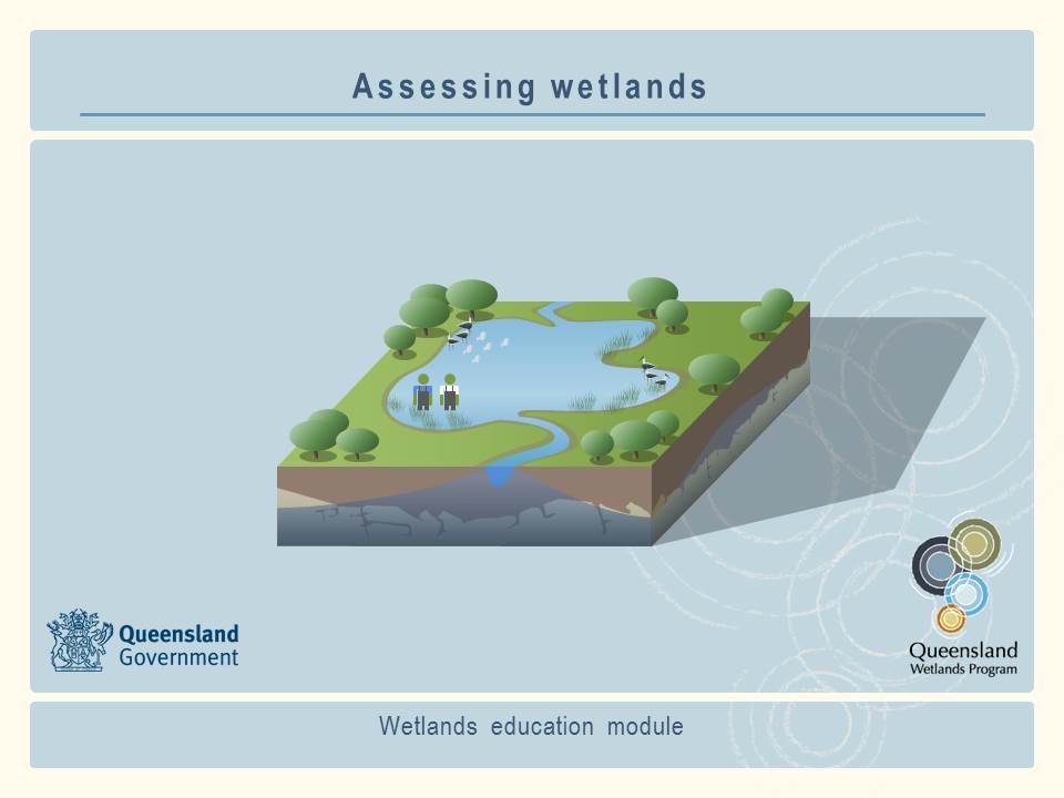 A series of on-line education modules, including Assessing wetlands, has been prepared as a resource for people who want to learn more about wetlands. Users can download and use the contents of this education module to meet their learning and training needs. This information should be used in conjunction with information found on this website. Addtional InformationAustralian Government Biodiversity Assessments Aquatic Ecosystems Toolkit Module 5: Integrated Ecosystem Condition Assessment Pages under this sectionReferences
Last updated: 25 July 2014 This page should be cited as: Department of Environment, Science and Innovation, Queensland (2014) Assessment, WetlandInfo website, accessed 8 May 2025. Available at: https://wetlandinfo.des.qld.gov.au/wetlands/assessment/assessment-methods/ |
Site footer

 — Department of the Environment, Tourism, Science and Innovation