|
|
Moreton Bay Regional Council Waterway Health Monitoring ProgramCoverageThe map below highlights the areas where sampling has occurred for this program. Click on the map to view information about the drainage basins in this area. Program start date1991 Program end dateOngoing Objectives of the programThis program aims to:
Who is involved?Lead organisationContact details of lead organisation: mbrc@moretonbay.qld.gov.au Partner organisationsExperts for quality assurance and local consultants List of indicators monitoredBiological:
Physical/chemical:
Sediment samples at selected sites:
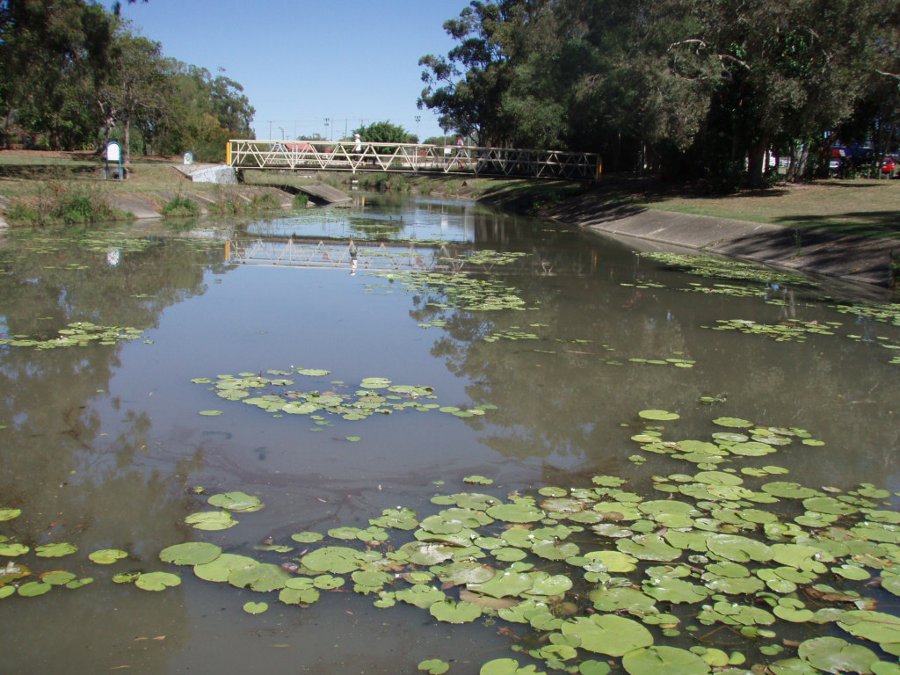
Scale of programLocal government area Brief description of sampling locationsAbout 900 kilometres of freshwater streams in the Moreton Bay Regional Council local government area are monitored at 160 sites over a four-year cycle. An extra 20 sites in this area monitored about 115 kilometres of estuarine environment on a quarterly basis from July 2009 to June 2012. Frequency of monitoringVariable Where is the program reported?Last updated: 22 March 2013 This page should be cited as: Department of Environment, Science and Innovation, Queensland (2013) Moreton Bay Regional Council Waterway Health Monitoring Program, WetlandInfo website, accessed 8 May 2025. Available at: https://wetlandinfo.des.qld.gov.au/wetlands/assessment/monitoring/current-and-future-monitoring/moreton-bay-regional-council-waterway-health-monitoring-program.html |

 — Department of the Environment, Tourism, Science and Innovation

