

|
|
InventoryWetland inventories are used to record standardised data about wetlands. Inventory data may be generated from available data sources (e.g. tenure, climate, population, land use) or collected through surveys (e.g. flora, fauna, water quality) involving the use of equipment and specialised field techniques. Wetland mapping is a key element used to populate wetland inventories. Wetland assessments use data from wetland inventories - and analyse this data again criteria using specialised methodologies. Wetland monitoring involves measuring wetland indicators over time that are known to indicate change in extent, condition, features or values.
Quick facts
Inventories are developed through the use of standardised methods, collection tools and databases. This inventory data forms a critical evidence based foundation for effective decision-making informing legislation, monitoring, on-ground activities and research. Standardised methods for sampling and data collection are necessary to ensure consistency, integrity and reliability. The standardised methods suggested for inventory collection may have been developed as part of a monitoring and or assessment program, but are still suitable for pure inventory collection as the data collection procedures are consistent and repeatable. Standards applicable for Queensland include: Water
Water monitoring and sampling manualThe manual includes standardised procedures and methods for collecting water quality data (physical and chemical) via a broad range of instruments. Site selection may vary, however, the data collection procedures and methods are consistent. Fauna
VertebrateThe guidelines outline the Queensland Government's minimum requirements, standards, and appropriate practice for the survey of terrestrial vertebrate fauna in Queensland. This provides a practical guide for the preparation, implementation and reporting of terrestrial fauna surveys and facilitates consistency and comparability of data.
StygofaunaThis manual provides standardised methods (referenced in “Guideline for the Environmental Assessment of Subterranean Aquatic Fauna”) for sampling stygofauna.
InvertebrateThis manual provides standardised methods for both field picking and laboratory picking methods (in Queensland, field picking is accepted as the preferred standardised method). Fish biopassageInventory methods and results for instream structures to fish passage can be found in the Assessment Toolbox. Flora
Methodology for Survey and Mapping of Regional Ecosystems and Vegetation CommunitiesThis methodology document contains the “CORVEG site data collection method” (Appendix 2 – page 53), which is a standardised procedure for vegetation sampling in Queensland that feeds into the CORVEG database. The aim of this document is to provide a practical guide for ecologists to ensure that compatible methodologies are used.
Data collection protocol for mapping and monitoring mangrove communities in QueenslandFor use as a Statewide standard of data points for future survey, monitoring and mapping works. The Protocol is applicable Queensland wide for determining the distribution and monitoring the health of mangrove communities.
Collecting and Preserving Plant Specimens, a ManualThis manual has been written to standardise the collection of quality plant specimens for identification, research and inventory purposes. Soil and geomorphology
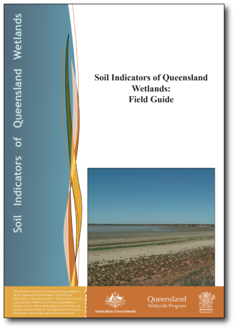
SoilThis guide was developed to assist in the field identification of wetland soil indicators in Queensland. An understanding of The Australian Soil and Land Survey Field Handbook is necessary. Bathymetry
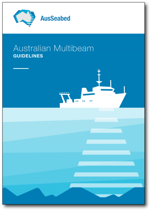
BathymetryBathymetric (or sea floor) data are collected in multiple ways (AusSeabed):
Geoscience Australia provides more information. Habitat and ecology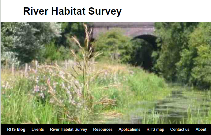 River Habitat Survey (RHS)The RHS database allows sites of a similar nature to be grouped together for comparative purposes and investigation of the relationships between physical variables (e.g. gradient, geology), channel modifications and habitat features at spot-check and 500m site level. These investigations can make use of available water chemistry and hydrological data, plus survey results of benthic macroinvertebrates, aquatic macrophytes, fish and breeding water birds where biological sampling has been done in or near RHS sites.  Guidelines for the rapid ecological assessment of biodiversity in inland water, coastal and marine areasThe guidance provided refers to “biological” assessments of biodiversity largely at the species and community level. However, some reference is also made to tools which will assist in the assessment of wetland ecosystems. Decision VII/4 (paragraph 21) of the CBD notes this focus and the need for additional guidance for the further assessment of ecosystem level aspects and economic, social and cultural aspects of such biodiversity. 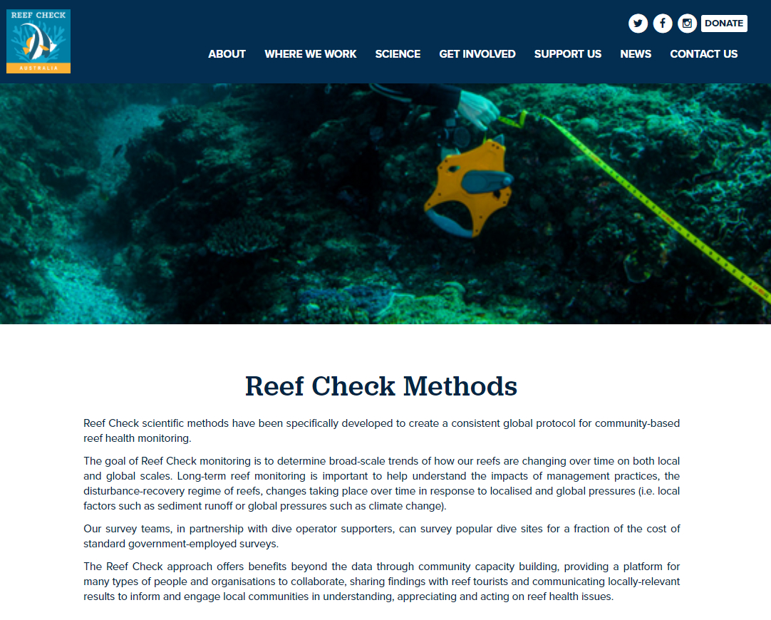 Reef Check Australia - Reef check methodsReef Check scientific methods have been specifically developed to create a consistent global protocol for community-based reef health monitoring. The goal of Reef Check monitoring is to determine broad-scale trends of how our reefs are changing over time on both local and global scales. Long-term reef monitoring is important to help understand the impacts of management practices, the disturbance-recovery regime of reefs, changes taking place over time in response to localised and global pressures (i.e. local factors such as sediment runoff or global pressures such as climate change). 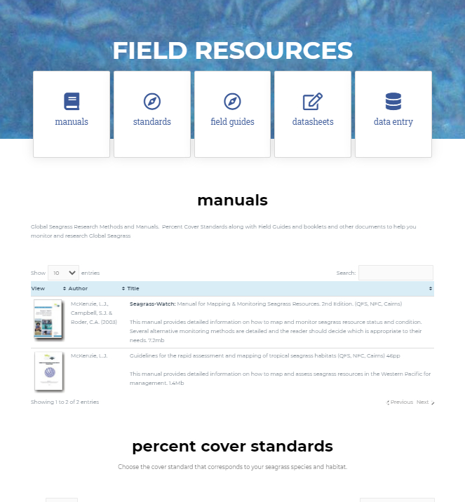 Seagrass-Watch - Field manuals repositoryReef Check scientific methods have been specifically developed to create a consistent global protocol for community-based reef health monitoring. The goal of Reef Check monitoring is to determine broad-scale trends of how our reefs are changing over time on both local and global scales. Long-term reef monitoring is important to help understand the impacts of management practices, the disturbance-recovery regime of reefs, changes taking place over time in response to localised and global pressures (i.e. local factors such as sediment runoff or global pressures such as climate change). 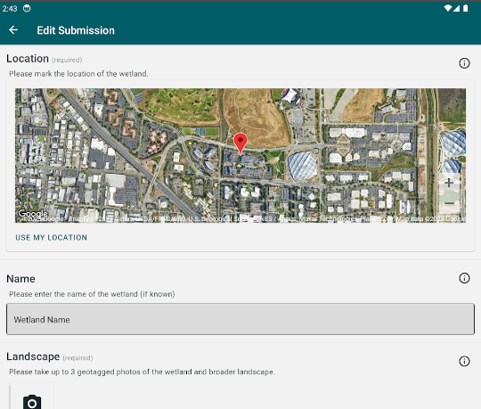 Wetland SpotterWetland Spotter is a mobile application that allows the user to submit photographs and other information on wetlands across Queensland, Australia to the Queensland Herbarium for identification and mapping. Wetland Spotter allows for the quick capture key information at a wetland site through capturing photographs of the wetland margin, emergent vegetation, aquatic plants, and more. The mobile app can also be accessed via Google Play: Wetland Spotter - Apps on Google Play and iOS: Wetland Spotter on the App Store (apple.com) Collection toolsInventory collection tools are required for the collection of data and can vary from paper based to digital and online applications. Examples of digital applications include:
Data storage (databases)Databases store standardised information, and various processes exist to deliver this information to stakeholders. Examples include: Ambient estuarine water quality monitoring data Coastal Data System - Near real time storm tide data Coastal Data System – Near real time wave data Coastal Data System – Near real time tide data Groundwater Database - Queensland Regional Ecosystem Description Database (REDD) Queensland fish habitat area - instream structure inventory data Additional Queensland Government Datasets Queensland Wetland Mapping Data Potential Groundwater Dependent Ecosystem Aquifer Mapping Data Tools to help with identificationThere are a number of tools that help with identification of inventory information. Examples include:
There are many others. Some flora and fauna related ones are listed on the Atlas of Living Australia ‘How do I identify a species’ page. Last updated: 28 February 2021 This page should be cited as: Department of Environment, Science and Innovation, Queensland (2021) Inventory, WetlandInfo website, accessed 8 May 2025. Available at: https://wetlandinfo.des.qld.gov.au/wetlands/assessment/inventory.html |
Site footer

 — Department of the Environment, Tourism, Science and Innovation