

|
|
Bypass fishwayBypass fishway – Planning and design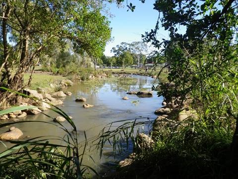 Select from the tabs below In addition to the general information for all fishway types, the following applies to bypass fishways. SlopeThe gradient of bypass fishways is typically 1:50 (vertical:horizontal),[1] however some newer hybrid designs have been successful with a gradient of 1:40 (Andrew Berghuis pers comm.). Resting pools are typically used for every 1 m rise in vertical elevation[1] and some designs include oversized resting pools with a range of habitats that provide habitat complexity, and associated protection from predation and resting habitat for all expected species and size classes (Andrew Berghuis pers comm.). Disclaimer: In addition to the standard disclaimer located at the bottom of the page, please note the Fishways (biopassage structures) disclaimer. References
Last updated: 10 May 2021 This page should be cited as: Department of Environment, Science and Innovation, Queensland (2021) Bypass fishway – Planning and design, WetlandInfo website, accessed 8 May 2025. Available at: https://wetlandinfo.des.qld.gov.au/wetlands/management/fish-passage/technologies/fishway-options/bypass/planning-design.html |
Site footer

 — Department of the Environment, Tourism, Science and Innovation