

|
|
PlanningEach site and associated aquatic fauna is unique. The site-specific fauna is a crucial consideration at the planning and design phase, in terms of spebillcies, sizes, life history stage, migration requirements to complete life cycle, and natural movement patterns. The swimming abilities, behaviours, hydrological, hydraulic and seasonal requirements of the associated fauna needs to be accommodated by the biopassage structure design.
Quick links and facts
The individual specifications of a biopassage structure should be refined as part of a collaborative process. It is very important to bring together a design team that includes fish passage biological expertise, as well as engineering, construction and operation expertise, at the very start of the planning and design stage. 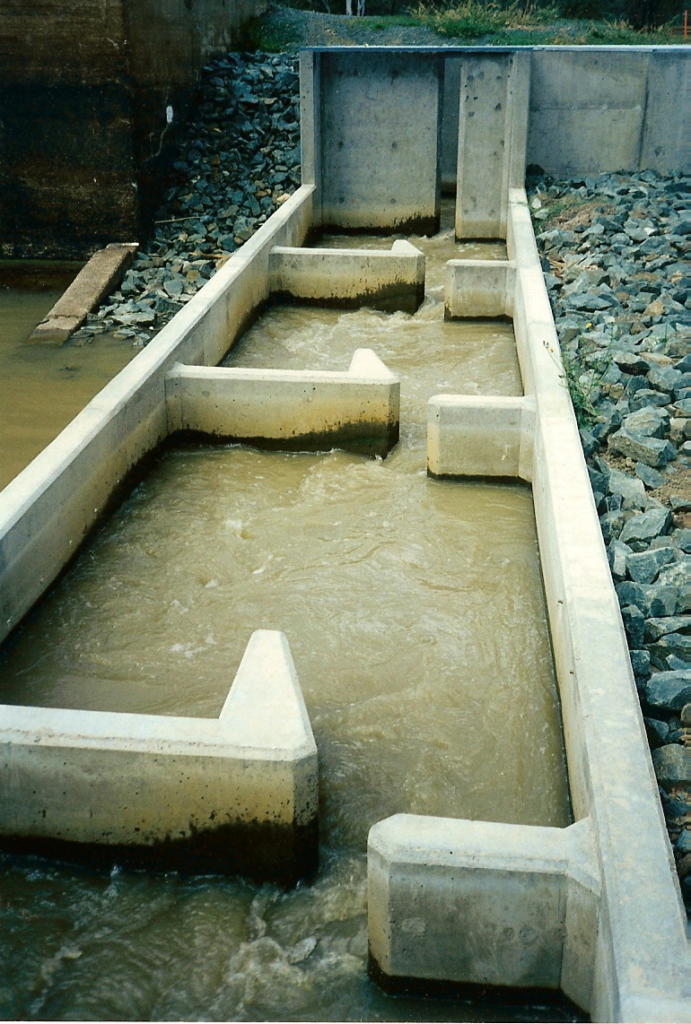 Location and sitingWhen deciding on the location of a biopassage structure at a particular site, it is important to consider the physical characteristics of the site, which might include:
Entrance to structureThe location of the entrance to the fishway is crucial. Fish need to be able to detect flows from the structure to be attracted to the opening. Only then will they have an opportunity to ascend. Key considerations in placing the entrance include:
Exit from structure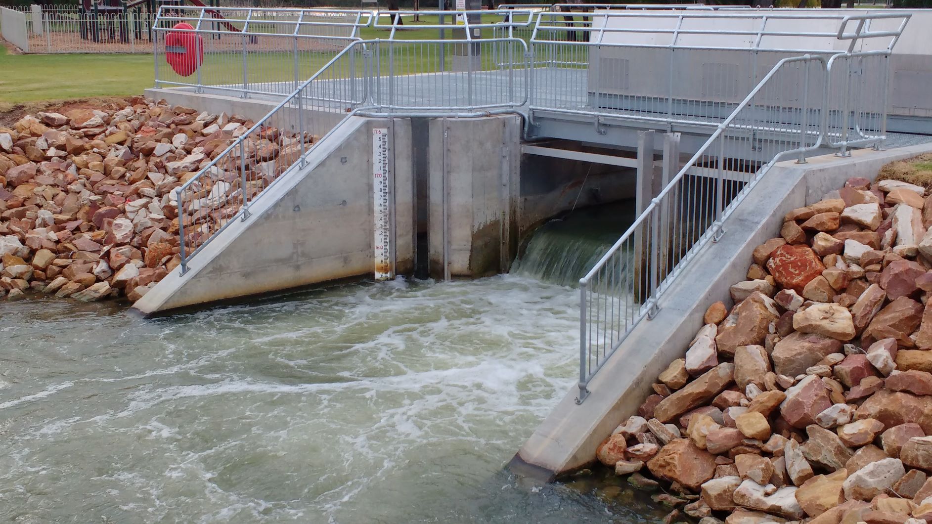 At the exit (i.e. where fish exit the structure, typically at the upstream end), it is essential to consider the orientation of the exit (with respect to the flow pathways) to ensure that fish are not swept back downstream (or upstream in the case of downstream migrators)[3]. Fish may also benefit from exiting the structure into some form of cover (e.g. large woody debris or rock structures). For example, cover can protect fauna from predators as they enter a large impoundment. The exit may have a trash rack (also called exit screen) installed to minimise the amount of floating debris entering the structure. Debris can block components of the structure such as the slots, ridges or pools in vertical slots or rock ramps, or chambers in mechanical fishways, thereby altering the hydraulic conditions. The trash rack also needs to be designed and maintained so that it does not impede fish passage, with spacing in the rack allowing for the largest species to physically pass through.[3] All fishways should have a maintenance and monitoring programs. Sizing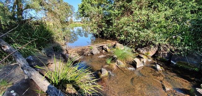 Key size considerations for fish passage structures include:
These factors influence the velocity, turbulence and slope. Velocity and turbulence need to be assessed at varying upstream and downstream water levels to ensure the fishway is operating to specification. Fishways need to allow for fish swimming movements and resting in terms of individual fish size and mass movements. Migrating populations may be composed of small or large fish and may be adults or juveniles, and the fishway must be able to accommodate the size-range and the maximum number/biomass of fish that will need to utilise it on any given day[3]. Mass migrations may consist of billions of fish[1]. 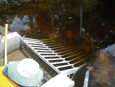 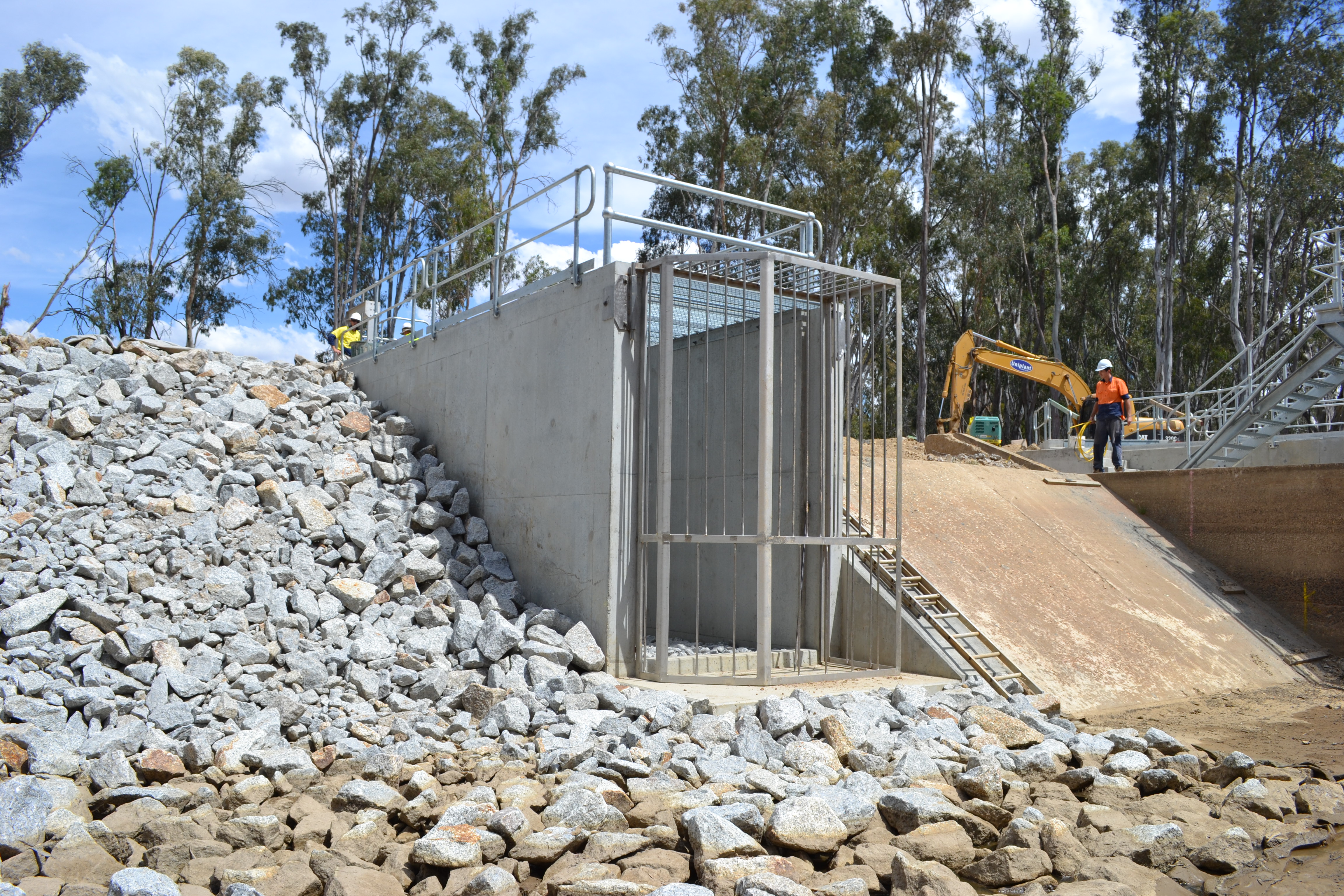
Biopassage structuresMost biopassage structures in Queensland are currently designed for fish and include the following types: Rock ramp fishway
Vertical slot fishway
Cone fishway
Bypass fishway
Trapezoidal fishway
Denil fishway
Pool and weir fishway
Mechanical fishways
Fish-friendly culverts
Removal of barrier
References
Last updated: 10 May 2021 This page should be cited as: Department of Environment, Science and Innovation, Queensland (2021) Planning, WetlandInfo website, accessed 8 May 2025. Available at: https://wetlandinfo.des.qld.gov.au/wetlands/management/fish-passage/technologies/planning.html |
Site footer

 — Department of the Environment, Tourism, Science and Innovation