

|
|
WetlandUpdate September 2020Southern Gulf Catchment Aquatic Conservation Assessment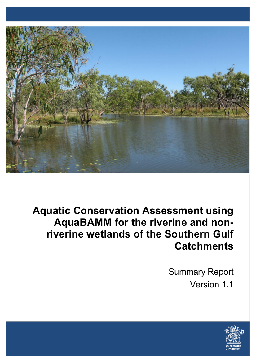 The Aquatic Biodiversity Assessment and Mapping Methodology (AquaBAMM) was developed in 2006 to provide a robust and repeatable method for assessing the biodiversity values of Queensland's wetlands[1]. The Southern Gulf Aquatic Conservation Assessment summarises the methods and results for the Aquatic Conservation Assessments completed for the Settlement Creek, Nicholson River, Leichhardt River, Morning Inlet and Mornington Island (Wellesley Islands group) hydrological basins. Freshwater riverine and non-riverine systems have been assessed. This report completes the ACA series for Queensland. Catchment Stories: Endeavour catchment, Jeannie catchment, and Lake Eyre Basin including the Georgina, Diamantina and Cooper Creek catchmentsTo effectively manage a catchment it is important to have a collective understanding of how it works. Catchment stories use map journals, integrated spatial information, photographs, animations and an informative narrative to demonstrate the features of catchments. These stories describe the location, extent and values of the Endeavour catchment, Jeannie catchment, and Lake Eyre Basin including the Georgina, Diamantina and Cooper Creek catchments. The stories demonstrate the key features which influence water flow, including geology, topography, rainfall and run-off, natural features, human modifications and land uses. The stories also contain key information on the values of the catchment. The information was compiled using the walking the landscape process, where experts systematically work through a catchment in a facilitated workshop, incorporating diverse knowledge of the landscape, to develop catchment stories. The links below takes you to the transcript page, click the link at the top of the transcript page to go to the Map Journal. Endeavour Catchment Story
Jeannie Catchment Story
Lake Eyre Basin
Georgina Catchment Story (Lake Eyre Basin)
Diamantina Catchment Story (Lake Eyre Basin)
Cooper Creek Catchment Story (Lake Eyre Basin)
Intertidal and Subtidal Products The Queensland Intertidal and Subtidal Ecosystem Classification scheme (the scheme) provides the understanding and classification of the biological, physical and chemical factors determining the nature and extent of ecosystems that underpin the mapping and ecosystem type descriptions. Four modules are available covering different aspects of the scheme. Module 4: A method for providing baseline mapping of intertidal and subtidal ecosystems in Queensland, applies the framework of Module 1 to mapping. Wetlands of Queensland Factsheet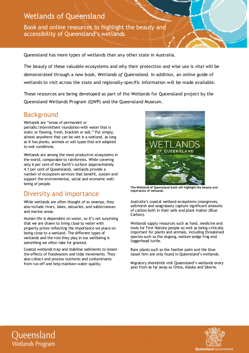 The Wetlands of Queensland book and online information factsheet highlighting the beauty and accessibility of Queensland's Wetlands is now available. UpdatesWetlandMaps and WetlandSummaryNew layers on WetlandMaps: Updated catchment stories and Aquatic Conservation Assessment areas, Roads and tracks, Railway lines, Suburb/Population Centre names, Cadastre and Bores x 2 (Groundwater Database layer and mining bores layer). Updated layers on WetlandMaps and WetlandSummary: Updated catchment stories and Aquatic Conservation Assessment areas. The Assessment Toolbox
Legislation toolboxThe programs, policies and legislation pages have been updated to reflect changes to Queensland’s planning programs, policy and legislation relating to wetlands, aquatic ecosystems and species. Wetland projects search toolAdditional projects have been added to the wetland projects search tool including a number from Community Sustainability Action grants Additional links
WetlandUpdateThe WetlandUpdate is a regular bulletin sent to subscribers to provide you with the latest WetlandInfo resources and tools, as well as case studies, video information and new project fact sheets. WetlandInfo feedback and improvementsContact us via email for feedback, information or questions about wetlands. WetlandInfo feature species - Blue Spiny Crayfish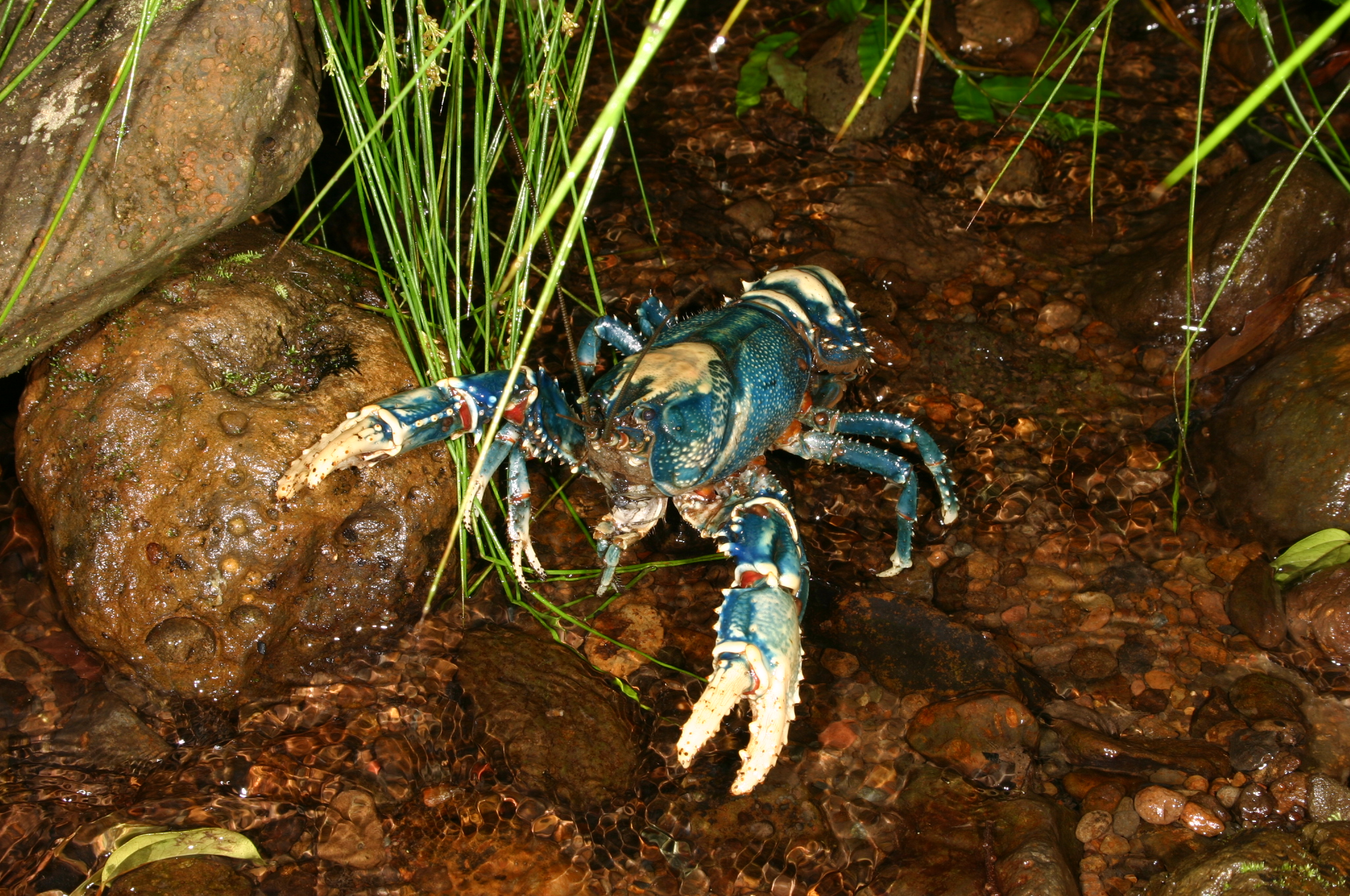
Blue Spiny Crayfish (Euastacus sulcatus). Photo by Harry Hines.
Our September feature species is the Blue Spiny Crayfish. The colour of the Blue Spiny Crayfish varies depending on its location e.g. Lamington and Springbrook crayfish are vibrant blue or blue-green contrasting with white; northern NSW animals are red and white; western populations are green-brown with less contrast. They are restricted to freshwater streams bordered by rainforest and sometimes wet eucalypt forest at more than 300 m altitude. They forage on detritus and water weeds and are often found walking on rainforest tracks after rain. When encountered, they can be very aggressive, waving their claws and hissing audibly, however they are not dangerous, unless you put your fingers in the way. Additional information
This section is updated regularly, so stay tuned for more! References
Last updated: 23 September 2020 This page should be cited as: Department of Environment, Science and Innovation, Queensland (2020) WetlandUpdate September 2020, WetlandInfo website, accessed 8 May 2025. Available at: https://wetlandinfo.des.qld.gov.au/wetlands/resources/publications/latest-news/2020-08-23.html |
Site footer

 — Department of the Environment, Tourism, Science and Innovation