

|
|
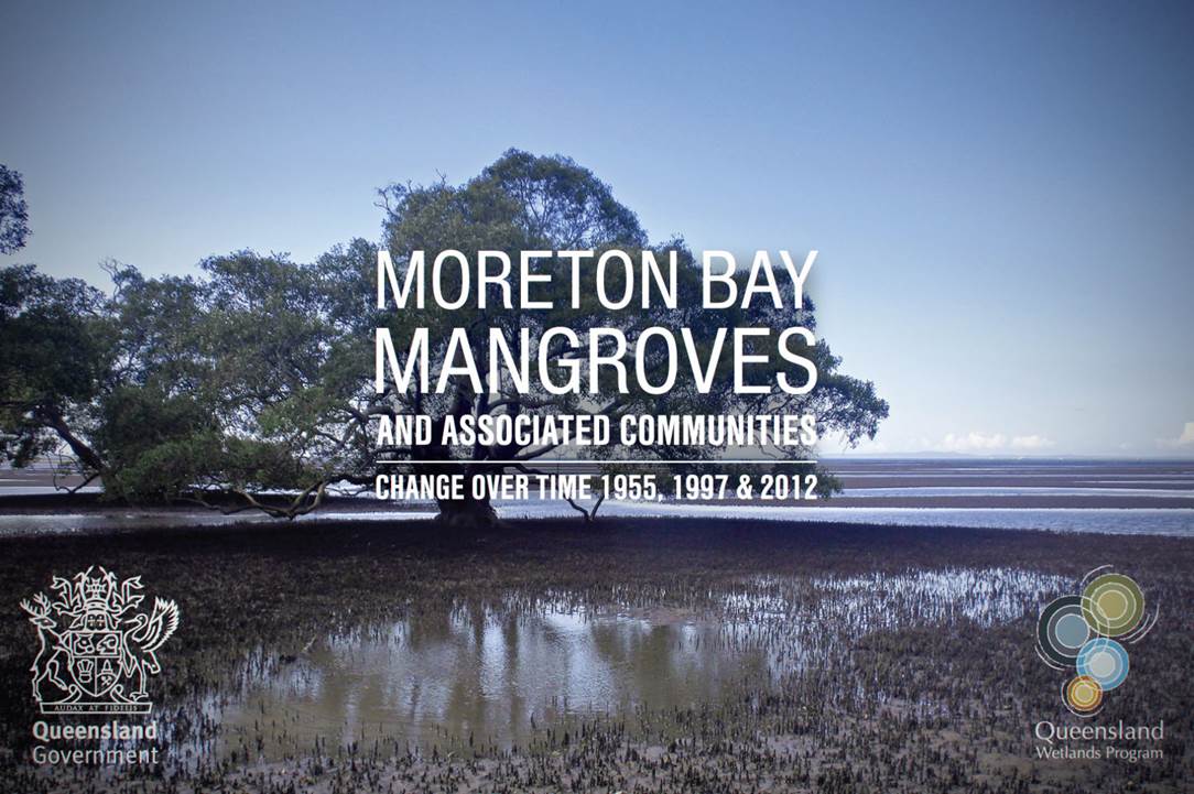
Moreton Bay mangroves and associated communities interactive map viewerThe Moreton Bay mangroves and associated communities interactive map viewer is an interactive swipe map that visualises changes in the extent of mangroves and associated communities in Moreton Bay, Queensland, between 1955, 1997 and 2012. This map viewer was developed with the Queensland Herbarium to enhance the knowledge, understanding and awareness of mangrove communities and estuarine wetlands in South East Queensland.
Quick facts
Moreton Bay mangroves and associated communities interactive map viewer
The Moreton Bay mangroves and associated communities interactive map viewer is an interactive swipe map that visualises changes in the extent of mangroves and associated communities in Moreton Bay, Queensland, between 1955, 1997 and 2012. Last updated: 17 June 2016 This page should be cited as: Department of Environment, Science and Innovation, Queensland (2016) Moreton Bay mangroves and associated communities interactive map viewer, WetlandInfo website, accessed 8 May 2025. Available at: https://wetlandinfo.des.qld.gov.au/wetlands/resources/tools/mangroves-moreton-bay.html |
Site footer

 — Department of the Environment, Tourism, Science and Innovation