

|
|
Videos and interactive mapsOnline videos and interactive maps are becoming a popular way to provide information, allowing the viewer to see the story unfold before their eyes. Map Journals are a tool used to present a story using real maps that can be interrogated, zoomed in and moved to explore the area in more detail. Below you will find links to a number of demonstrations and wetland related videos and Map Journals.
Quick links
Catchment Stories—Queensland Wetland ProgramCatchment Stories are developed using the Walking the Landscape process and presented via Map Journal web map applications. The catchment stories take users through maps and other multimedia to provide interactive, in-depth information. The Pumicestone and Mary Catchment animation YouTube videos were developed using the Walking the Landscape process. Albert Catchment
Baffle Catchment
Black Catchment
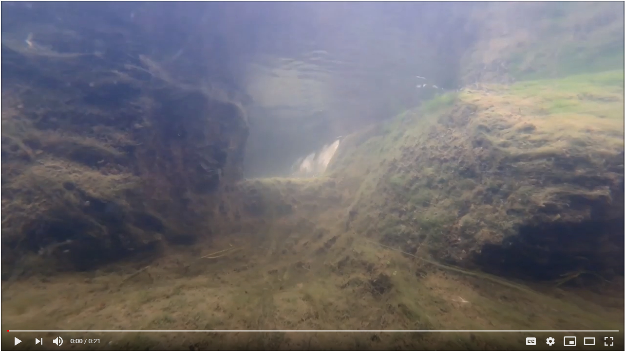
Bohle Catchment Story
Bremer Catchment
Caboolture Catchment
Calliope Catchment
Coombabah Catchment Story
Endeavour Catchment Story
Great Sandy Strait and Surrounding Catchments
Great Sandy Strait (Great Sandy Strait and Surrounding Catchments)
Jeannie Catchment Story
K'gari - Fraser Island (Great Sandy Strait and Surrounding Catchments)
Lockyer Catchment
Logan Catchment
Lower Brisbane Catchment
Lower Burdekin Catchment Story
Lower Fitzroy Catchment
Magnetic Island Catchment
Mainland Coastal Catchments (Great Sandy Strait and Surrounding Catchments)
Maroochy and Mooloolah Catchments
Mary (Great Sandy Strait and Surrounding Catchments)
Mid-Brisbane Catchment
Murray Catchment
Noosa Catchment
Normanby Catchment
Northern Gold Coast Catchment
O'Connell Catchment
Pine Catchment
Pioneer Catchment
Plane Catchment
Pumicestone Catchment
Proserpine Catchment
Redlands Catchment
Ross Catchment
Sandringham Lagoon Catchment Story (Plane)
Southern Gold Coast Catchment Story
Stanley Catchment
Susan (Great Sandy Strait and Surrounding Catchments)
Upper Brisbane Catchment
Water Park Catchment
The Queensland Reconstruction AuthorityThis catchment story was developed in conjunction with the Queensland Reconstruction Authority's Burnett Catchment Flood Resilience Strategy. Burnett Catchment
Lake Eyre Basin
Cooper Creek Catchment Story (Lake Eyre Basin)
Diamantina Catchment (Lake Eyre Basin)
Georgina Catchment Story (Lake Eyre Basin)
Terrain (Wet Tropics) Natural Resource Management GroupTerrain has developed catchment profiles incorporating Walking the Landscape processes. Herbert Catchment
Johnstone Catchment
Russell Catchment
Tully Catchment
Barron Catchment
Cairns Urban Area
Daintree Catchment
Mossman Catchment
Mulgrave Catchment
Interactive Map viewer (swipe map)—Queensland Wetland Program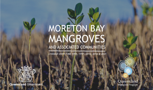 Moreton Bay mangroves and associated communities interactive map viewer The Moreton Bay mangroves and associated communities interactive map viewer is an interactive swipe map that visualises changes in the extent of mangroves and associated communities in Moreton Bay, Queensland, between 1955, 1997, 2012, 2016 and 2021. This map viewer was developed with the Queensland Herbarium to enhance the knowledge, understanding and awareness of mangrove communities and estuarine wetlands in South East Queensland. 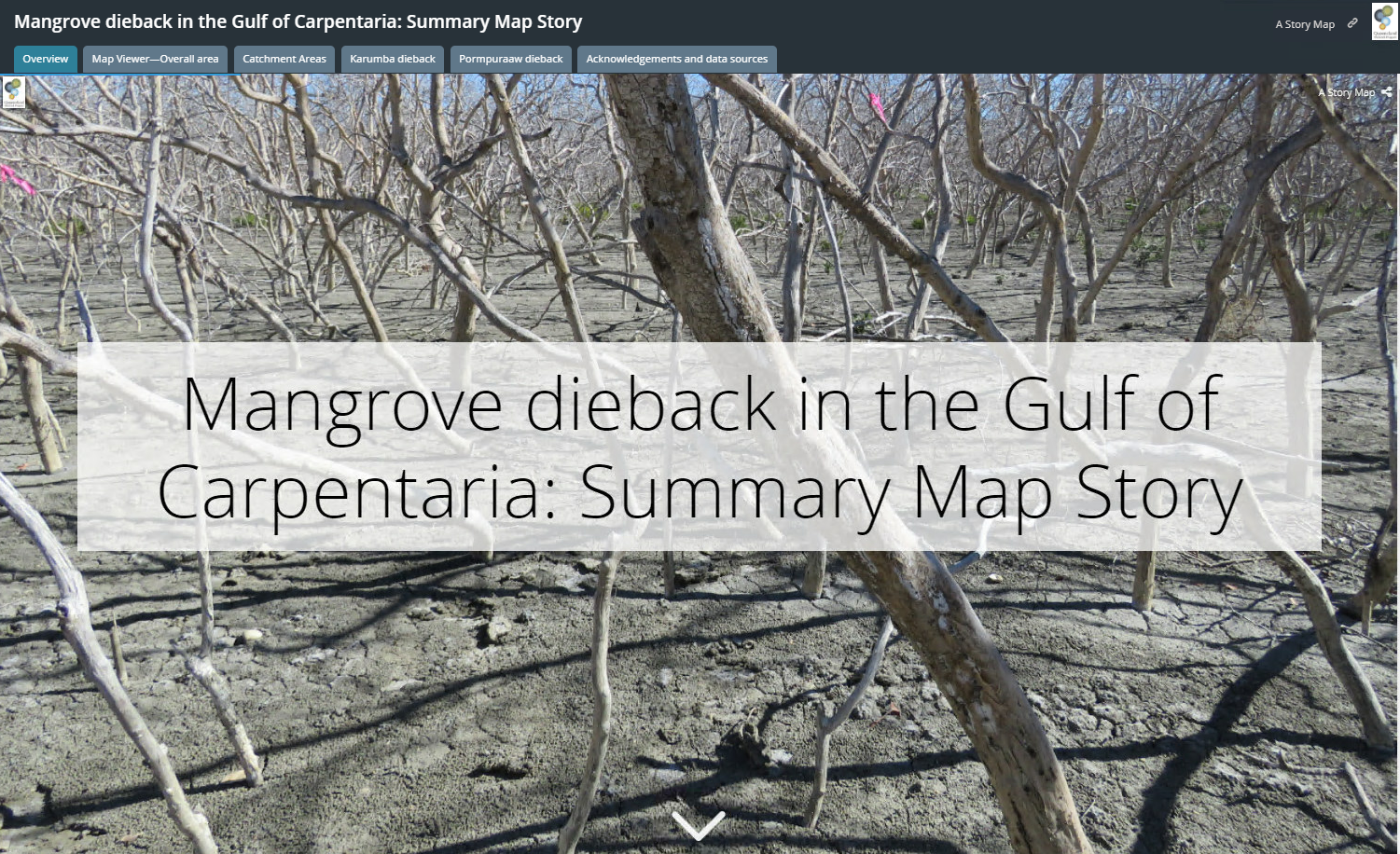 Mangrove dieback in the Gulf of Carpentaria interactive map viewer The Mangrove dieback in the Gulf of Carpentaria interactive map viewer is an interactive swipe map that visualises changes in the extent of mangroves and associated communities in the Gulf of Carpentaria, Queensland. The map viewer was developed with the Queensland Herbarium to enhance the knowledge, understanding and awareness of mangrove communities and estuarine wetlands and is a summary of the report Mangrove dieback in the Gulf of Carpentaria: baseline for monitoring future trajectory in Queensland Cultural values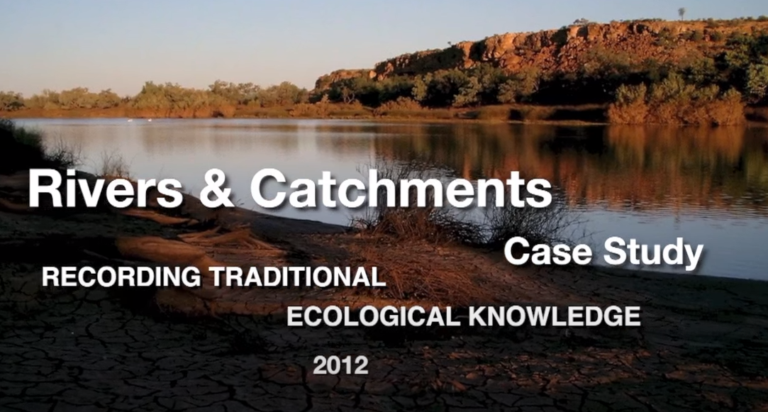 Aboriginal Knowledge - Rivers and Catchments - Lake Eyre Basin First Nations people of the Lake Eyre Basin have shared their knowledge on the three main rivers and why these rivers are so important to them. Video by Desert Channels Qld. 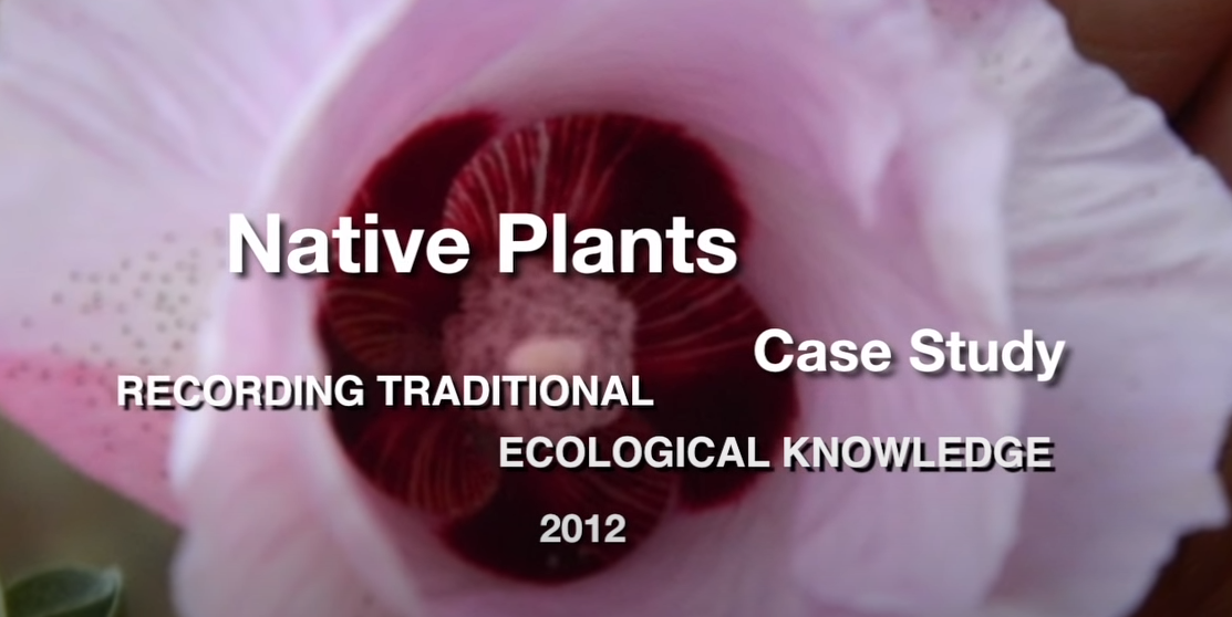 Aboriginal Knowledge – Native Plants – Lake Eyre Basin First Nations people of the Lake Eyre Basin have shared local knowledge on the native bush foods and plants. Video by Desert Channels Qld. Traditional knowledge and science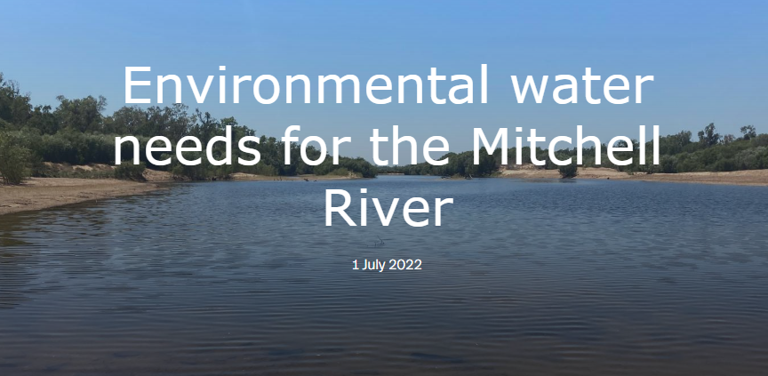 Environmental water needs for the Mitchell River This story map that outlines the scientific research done under the National Environmental Science Program (NESP), and aligns the research with the traditional knowledge of the five seasons of the Western Yalanji people. Prepared by the Griffith University Australian Rivers Institute, who engaged with the Mitchell River Traditional Custodians Advisory Group. Wetland Wander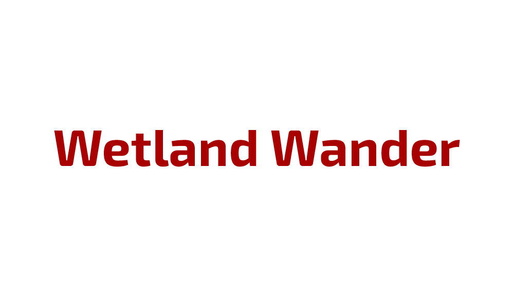 Wetland Wander is an art-science collaboration led by wetland ecologist Fernanda Adame, sound artist Leah Barclay, walking/media artist James Cunningham, and multimedia artist Suzon Fuks. It incorporates knowledge from current and traditional landowners within Quandamooka (Moreton Bay), and Nywaigi, Gulgnay and Girramay countries (North Queensland). Queensland's plans to manage water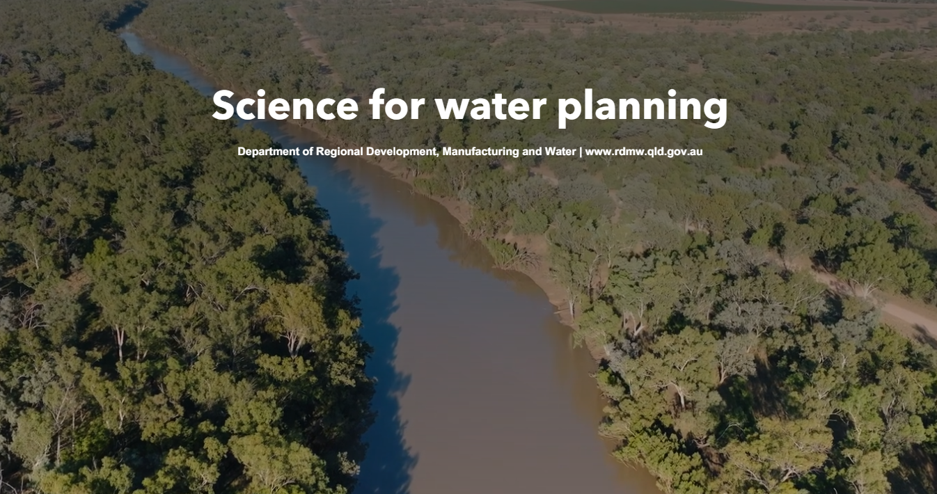 This interactive storymap explores the various ways science is used in water planning and addresses some of the key science projects that have been identified through the Water planning science plan 2020–2030 process. The Water planning science plan explains how science is used to develop water plans and improve water planning. 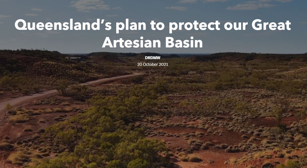 Queensland's plan to protect our Great Artesian Basin The Great Artesian Basin is made up of a number of groundwater aquifers. When groundwater pressure is high enough, water can flow freely to the surface through artificial bores or naturally occurring fractures that result in springs or flow into creeks and rivers. This storymap provides a strategic overview of the Queensland Government's plan to protect and manage the Great Artesian Basin. Videos—Queensland Wetland ProgramWatch these videos developed under the Queensland Wetlands Program. There are 'how-to' videos to show you how to use WetlandInfo tools and resources, as well as informative videos about the wetlands of Queensland.  Why are Queensland's migratory shorebirds disappearing? Millions of migratory shorebirds migrate annually from Arctic Russia and Alaska to Australia. Recent research shows that some species have declined nationally by more than 75% in 20 years. Data from Moreton Bay indicate that migratory shorebirds are declining while resident species are not, suggesting that the causes of these declines might lie outside Australia. Duration 44m 10s 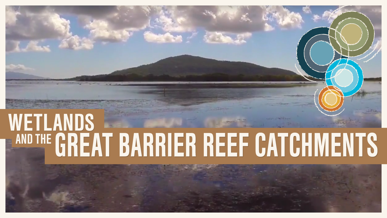 Wetlands and the Great Barrier Reef catchments Wetlands and the Great Barrier Reef catchments highlights the many values of wetlands in the Townsville and Burdekin Shires and promotes the importance of wise management of these areas in helping to protect the outstanding universal value of the Great Barrier Reef. The video features interviews with farmers, local government managers, volunteers, fishers, natural resource managers and Traditional Owners.Duration 9m 51s 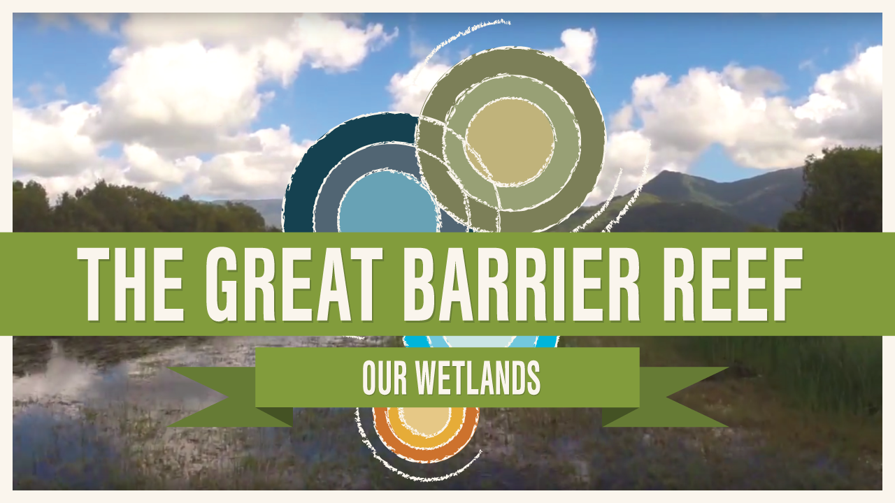 The Great Barrier Reef—Our wetlands The Great Barrier Reef—Our wetlands video highlights the importance of wetlands in the catchments of the Great Barrier Reef. Duration 4m 06s  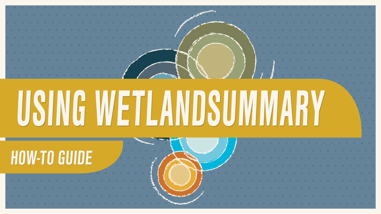 WetlandSummary is a comprehensive tool which allows users to explore wetland information and statistics according to different spatial divisions across Queensland. Duration 7m 11s  Exploring wetland KML files with Google Earth Did you know you can download Wetland related maps and view them in Google Earth? This video will show you how. Duration 5m 02s 
Downloading wetland mapping data in ESRI Shapefile format If you have a GIS application, you can download wetland mapping resources and other datasets which are featured on WetlandInfo. Duration 2m 20s 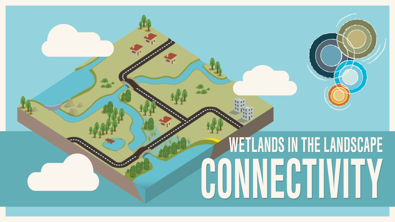 Wetlands in the Landscape: Connectivity Looking at the whole landscape, recognising what features exist, identifying all the elements that affect it and understanding how they work together is important for managing the landscape. Essentially, we need to develop the skills and knowledge to effectively 'read' the landscape if we want to be wise managers of the landscape. Duration 9m 50s Aquatic fauna passage (biopassage)
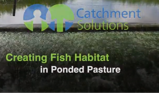
Fish ladders and Waterway Connectivity in South East Queensland Video by Catchment Solutions Duration 12m 5s Best management practiceHow should wetlands be managed and maintained in order to achieve the most beneficial outcome for the environment and for landholders? The following videos illustrate best management practices for wetlands. For other best management practice information and videos see the Wetlands Project Search Tool.
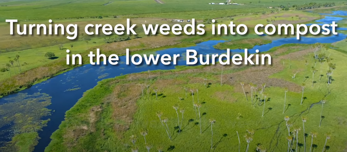
Turning weeds into compost in the lower Burdekin. A video by NQ Dry Tropics about an innovative project to remove weeds from creeks in the lower Burdekin and turn them into a nutrient-rich compost for use on local cane farms. Duration 4m 47s
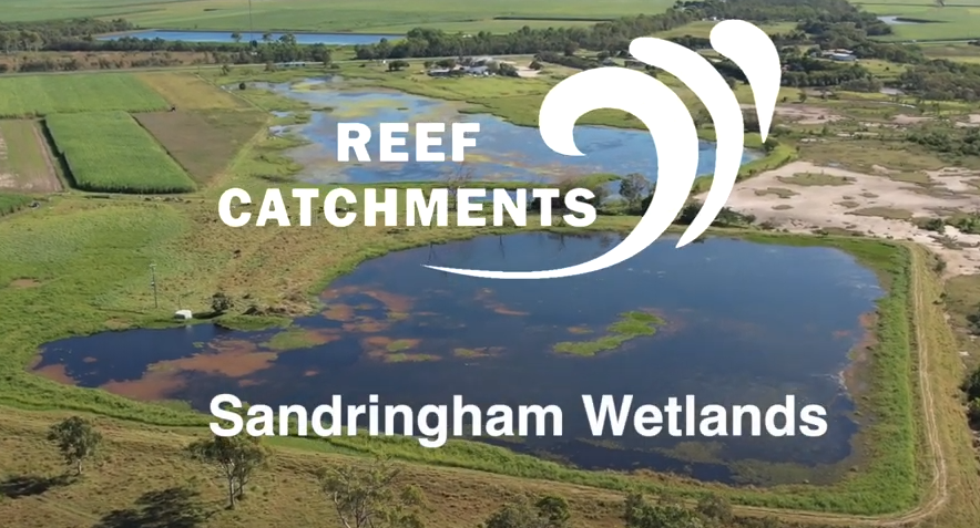
Improving land management practices in the Sandringham Wetland Complex. Reef Catchments is working to protect and restore wetlands south of Mackay, assisting landholders in the Sandringham Wetland Complex to manage their land and improve grazing practices. Duration 5m 47s
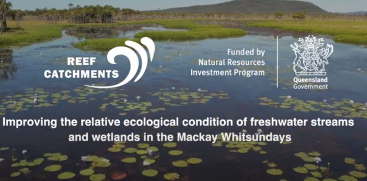
This video, by Reef Catchments, explores the integrated management activities designed to improve the condition and function of freshwater systems in the Mackay, Whitsunday and Isaac region. Duration 5m 15s
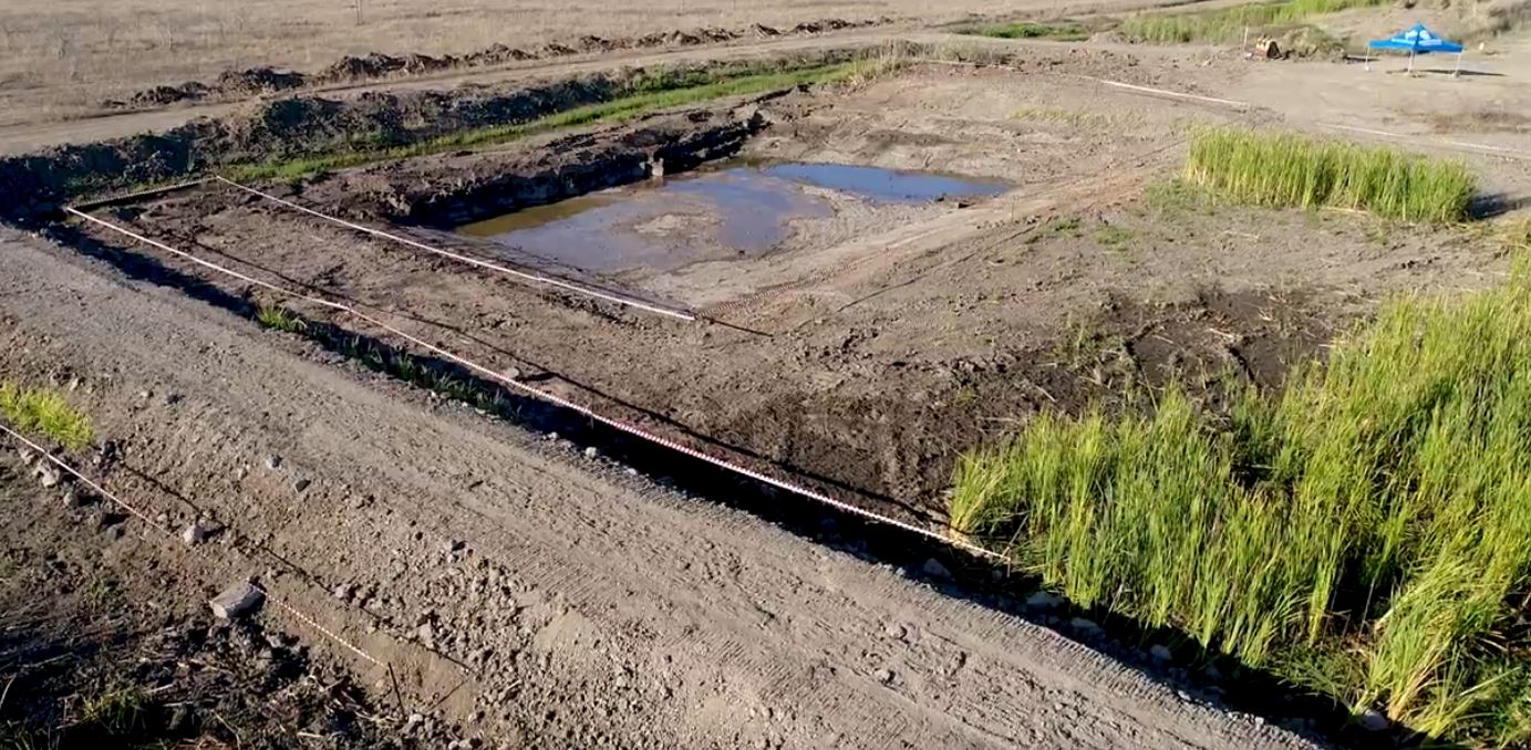
Constructed wetland treatment system - Barratta Creek This is a newly constructed wetland treatment system for testing out the effectiveness in intercepting water that comes from agricultural run off to improve reef water quality. Duration 3m 56s
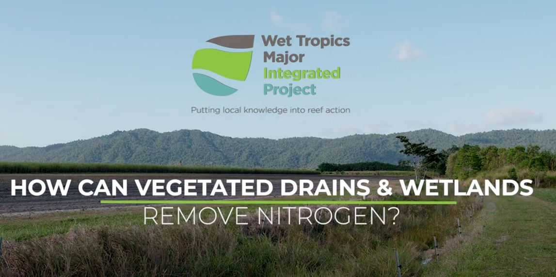
Farm drains and constructed wetlands as denitrifying systems Constructed wetlands and vegetated farm drains have been trialled as water quality treatment systems in the Wet Tropics to improve water quality runoff to the Great Barrier Reef. This video explains how these wetland ecosystems 'treat' water high in nitrate through a process called denitrification. Duration 3m 57s
This film highlights how two Burdekin growers used the information they received to make changes that boosted their bottom line while minimising environmental impacts on local wetlands. Duration 3m 33s
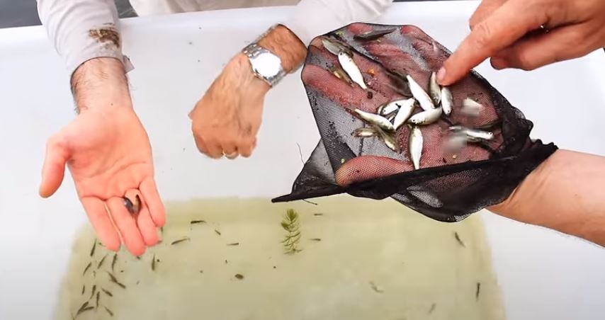
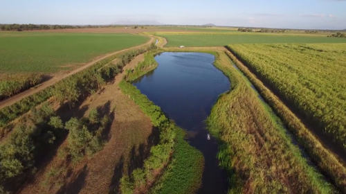
Why sugar cane growers restore wetlands in the Burdekin Region This video tells the story of Papale's, a cane farming family in the Lower Burdekin, north Queensland who chose to turn an unproductive area of their cane farm into a wetland. While wildlife in the wetland is thriving, the Papale's believe that farming systems and the environment can live hand in hand. Duration 2m 11s  Quagliata's lagoon demonstration site A Burdekin cane farmer shows other farmers how the rehabilitation of a wetland on his property will benefit his cane farming enterprise and also the quality of water entering the local waterway. Duration 5m 11s
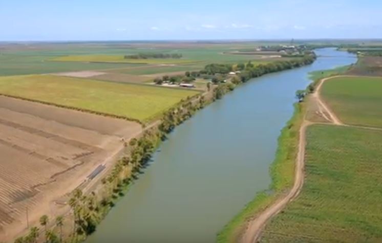
Blacks Beach constructed wetland video Blacks Beach constructed wetland video highlights the design characteristics required when building these structures to help achieve water quality improvements in a local urban development in Mackay. Duration 4m 24s 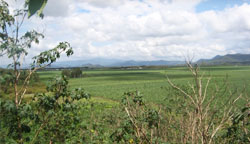 De Moleyns Lagoon rehabilitation and monitoring project Demonstrates great rehabilitation and monitoring work occurring at a natural wetland in an agricultural production area in the Pioneer Valley, west of Mackay. Duration 3m 48s 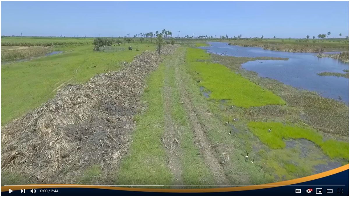 Turning creek weeds to compost in the Lower Burdekin This is a newly constructed wetland treatment system for testing out the effectiveness in intercepting water that comes from agricultural run off to improve reef water quality. Duration 3m 56s 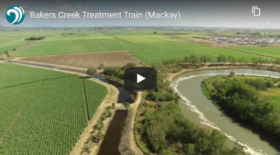 This video shows drone footage of a large scale treatment train on a sugarcane property. The Bakers Creek treatment train project is on a sugarcane property adjacent to a cane farm. The project also provides additional benefits to the grower by providing additional water which can be utilised for production. Link to pageDuration 1m 16s 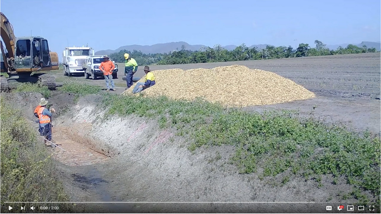 Building a Bioreactor Bed in the Wet Tropics How well do denitrification bioreactors work in the Wet Tropics? Watch this timelapse video of a 'bed' installation on a cane farm in the Tully region. Duration 2m 00s Groundwater and groundwater dependent ecosystemsThe following videos help to visualise the components and processes of groundwater dependent ecosystems. Read more about groundwater dependent ecosystems
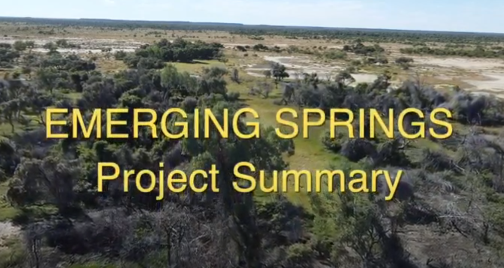
This video describes the highlights of a project focusing on the management of new and emerging springs in the area of the Great Artesian Basin in QLD. Video by Desert Channels QLD. Duration 2m 39s
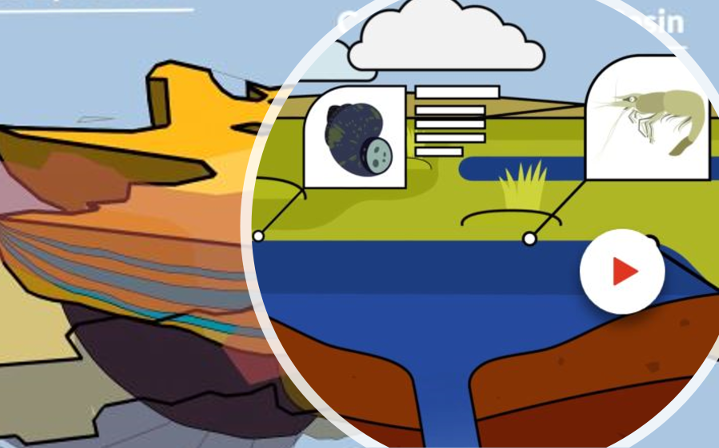
The Hydrology of the Great Artesian Basin - animation This animation describes the basic hydrology of the Great Artesian Basin (GAB), its location, formation and how it functions. The animation was developed through the Queensland Wetlands Program, in the Department of the Environment, Tourism, Science and Innovation, in collaboration with the Department of Natural Resources and Mines, Manufacturing and Regional and Rural Development, and other key experts. Duration 2m 56s
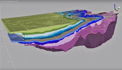
Location and geology of the Surat Cumulative Management Area (CMA) Introduction to the Surat CMA provides an introductory overview of the Surat CMA. Geology of the Surat CMA shows the basins and geological formations, the complexity of the geological layers, effects of these layers, and movement of groundwater. Geology in the Surat CMA presents a three dimensional view of the geology in the Surat Cumulative Management Area. This geological information is used to inform modelling processes. The Surat Cumulative Management Area covers extensive CSG development in the Surat, southern Bowen and Clarence-Moreton Basins. Queensland University of Technology groundwater visualisationsThe Groundwater Systems Research program operates a versatile software package that can produce 3D visualisations of geological and hydrological systems.
Moreton Bay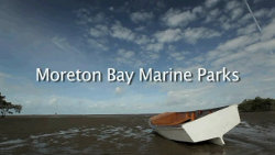  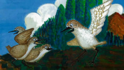 Shorebirds and other water birds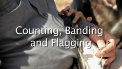 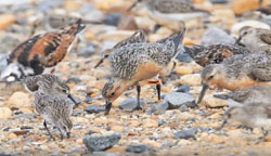 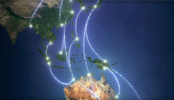 Video tour of migratory shorebird research at the Fuller Lab An overview of migratory bird research being conducted at the University of Queensland. Fuller Lab Duration 8m 10s Videos about intermittent systems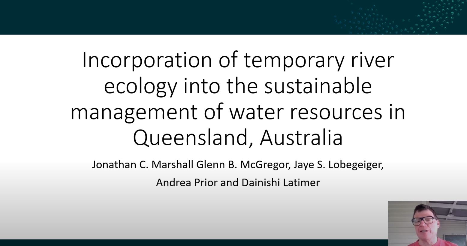 This video outlines a process which seeks to balance water allocations to support economic development while protecting critical aspects of the flow regime which sustain temporary river ecosystems. Most Queensland rivers have intermittent flow regimes, ranging from seasonably predictable to highly unpredictable. The video highlights examples of temporary river research undertaken to support these assessments and illustrates the application of this knowledge into water management and allocation rules in Queensland Water Plans. Queensland Government Duration 11m 52s 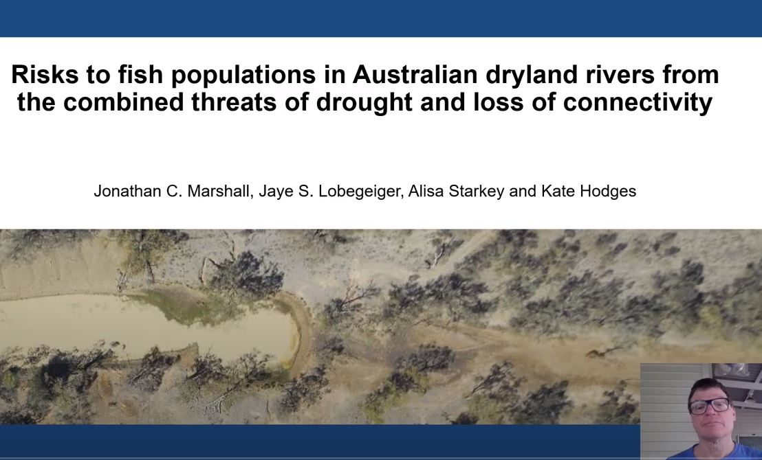 Securing biodiversity, functional integrity and ecosystem services in drying rivers This video outlines risks to fish populations in Australian dryland rivers from the combined threats of drought and loss of connectivity. Combining information on risks from limited refuge habitat during drought and reduced movement opportunity following drought identified river segments where drought poses the greatest risk to local fish population viability. Queensland Government Duration 11m 53s 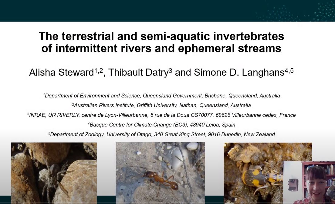 The terrestrial and semi-aquatic invertebrates of intermittent rivers and ephemeral streams This video introduces the terrestrial and semi-aquatic invertebrate fauna of intermittent rivers and ephemeral streams (IRES), and presents conceptual models describing how they respond to hydrological changes. These models are tested with data collected during wet and dry phases in IRES from Australia and France. These generic models can be utilised by water managers and policy makers, ensuring that both wet and dry phases are considered in the management and protection of IRES. Queensland Government Duration 10m 51s National Environmental Science Program (NESP)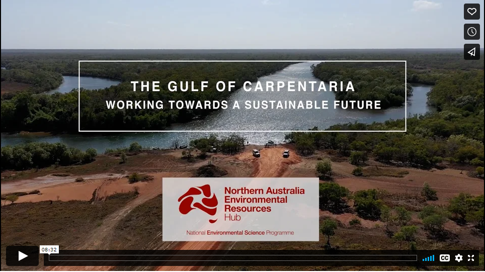 NESP NAER Gulf of Carpentaria research overview A video featuring Resilient Landscapes Hub research in the Gulf of Carpentaria to support sustainable development in the region. NQ Dry Tropics Duration 8m 32s Other videos about wetlands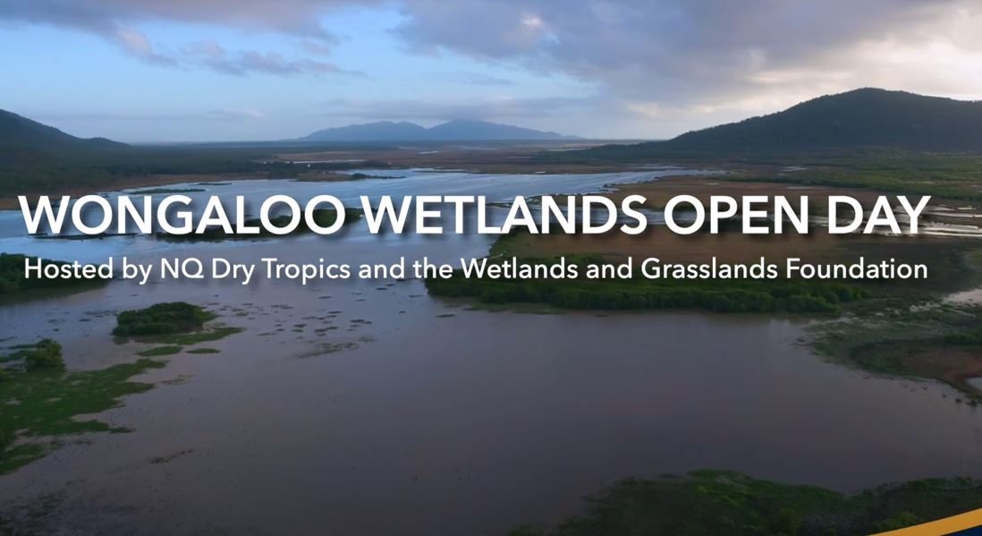 A video promoting Wongaloo Wetlands Open Day that was celebrated as a part Ramsar 50th Anniversary year, by NQ Dry Tropics. NQ Dry Tropics Duration 3m 42s  Fish passage and connectivity in SEQ A short SEQ fish passage/connectivity video created for the 'Re-Connecting Aquatic Habitats Across the Greater Brisbane Urban area project, coordinated by Catchment Solutions. Catchment Solutions Duration 12m 4s 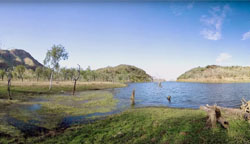 Australia's amazing wetlands, World Wetlands Day 2012 Each year, world wetlands day is celebrated to promote wetland conservation. Wetlands are a critical part of our natural environment. They protect our shores from wave action, reduce the impacts of floods, absorb pollutants and improve water quality. Commonwealth Department of Sustainability, Environment, Water, Population and Communities Duration 3m 18s 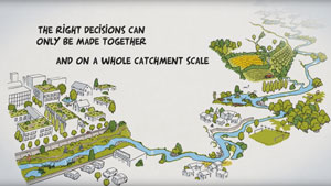 A new type of river management is coming! A short animation film on river management by the Rhone Mediterranean Corsica water Agency. The European River Restoration Community of Practice in partnership with the Environment Agency and Agence de l'eau Rhone Méditarranée Corse Duration 3m 30s The Ramsar Convention on YouTube The official YouTube channel for the Ramsar Convention. The Ramsar Secretariat Last updated: 2 December 2022 This page should be cited as: Department of Environment, Science and Innovation, Queensland (2022) Videos and interactive maps, WetlandInfo website, accessed 8 May 2025. Available at: https://wetlandinfo.des.qld.gov.au/wetlands/resources/video.html |
Site footer

 — Department of the Environment, Tourism, Science and Innovation