Wetlands and floodplains can play an important role in protecting our settlements from natural disasters in a range of ways. This page provides background information and links on wetlands and disaster management.
Walking the landscape—catchment stories
To effectively manage a catchment it is important to have a collective understanding of how the catchment works. Map journals integrate spatial information, photographs and animations with an informative narrative to demonstrate the features of catchments.
The information in the catchment stories was compiled with experts using the walking the landscape process, where experts systematically worked through a catchment in a facilitated workshop, to incorporate diverse knowledge on the landscape.
The stories describe the location, extent and values of the Lockyer and Mid-Brisbane catchments. They demonstrate the key features which influence water flow, including geology, topography, rainfall and run-off, natural features, human modifications and land uses.
Additional catchment stories are under development so watch this space!
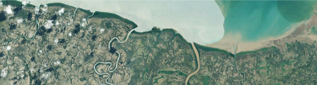
Delta Downs and Nijinda Durlga (Tarrant) Flyway
A property in the south-east Gulf of Carpentaria has been recognised as an important migratory shorebird site on the East Asian—Australasian Flyway. “Tarrant”, part of the Nijinda Durlga Indigenous Protected Area, is managed by the Gangalidda and Garawa Indigenous People, with formal recognition made on 25 October 2016. The site comprises an important section of the larger South-East Gulf of Carpentaria shorebird area, with two major roosts of migratory shorebirds. It includes extensive intertidal mud and sand flats backed by mangroves, bare salt flats and some shelly beaches. Over 10,000 migratory shorebirds, of at least 16 species, feed and roost in the site. Based on leg flag re-sightings in other parts of the South-East Gulf, some presumably travel on to south-eastern Australia and/or to New Zealand.
Treatment system forum
Twelve videos have been released featuring presentations from the 2016 Treatment Systems Forum. The Forum provided an overview of innovative new approaches to treatment systems, including constructed wetlands, floating wetlands, bioreactors, algae treatment and other technologies. These have the potential to reduce nutrients and pesticides from diffuse rural sources in the coastal catchments of Queensland.
Wetland Plants of the Wet Tropics
Wetland Plants of the Wet Tropics is a user friendly illustrated field guide that offers comprehensive information on the wetland plants of the area. The useful guide was published by Terrain NRM in partnership with Department of Agriculture, Fisheries (DAF) through the Queensland Wetlands Program.
Updates, improvements and links
Sewage treatment facilities and monitoring points layers on QSpatial
WetlandUpdate
The WetlandUpdate is a regular bulletin sent to subscribers to provide them with the latest WetlandInfo resources and tools, as well as case studies, video information and new project fact sheets.
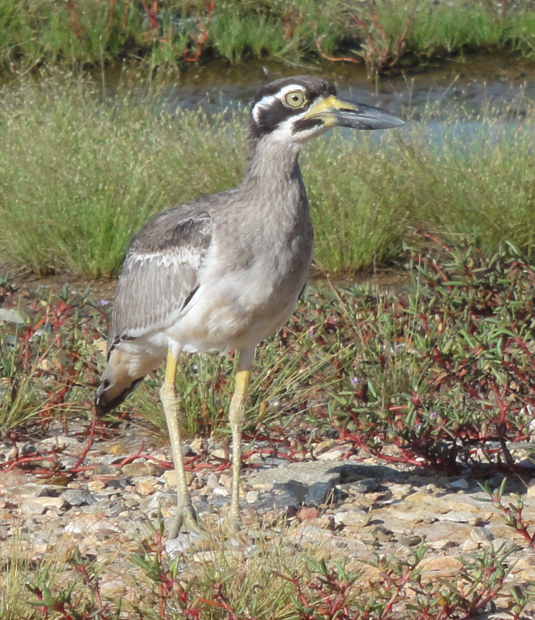
Our WetlandInfo feature bird is Esacus magnirostris, commonly known as the beach stone-curlew or beach thick-knee. They are usually found in pairs on the deserted beaches of northern Australia. They use all types of beaches but are easily disturbed so there are many areas where this bird is not found. They nest in a shallow scrape in the sand and once they establish a site they tend to be faithful to it.
WetlandInfo updates this section regularly, so stay tuned for more!
Department of Environment, Science and Innovation, Queensland (2017) WetlandUpdate 2 February 2017, WetlandInfo website, accessed 8 May 2025. Available at: https://wetlandinfo.des.qld.gov.au/wetlands/resources/publications/latest-news/2017-02-05.html


 — Department of the Environment, Tourism, Science and Innovation