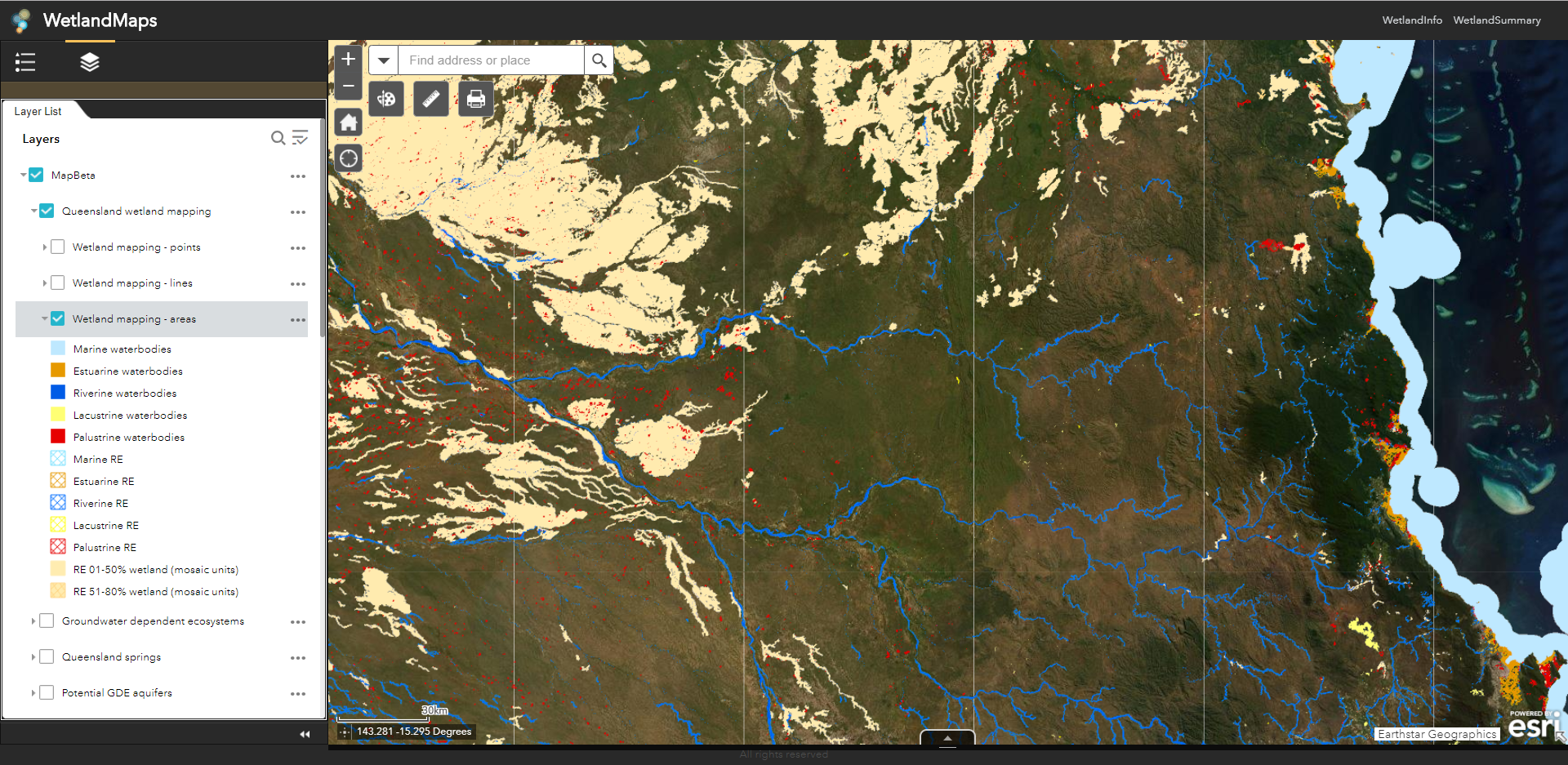
WetlandMaps has been updated to Arc GIS Online (AGOL) WetlandMaps (Beta) making mapping access and use quicker and more reliable while bringing together additional search information from across the site.
Please fill in our user feedback survey on the usefulness of the new map server.
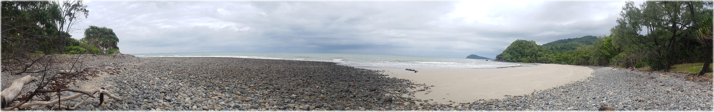
To effectively manage a catchment it is important to have a collective understanding of how the catchment works. Catchment stories use map journals, integrated spatial information, photographs, animations and an informative narrative to demonstrate the features of catchments.
This story describes the location, extent and values of the Magnetic Island Catchment. The stories demonstrate the key features which influence water flow, including geology, topography, rainfall and run-off, natural features, human modifications and land uses.
The information was compiled using the 'walking the landscape process', where experts systematically worked through a catchment in a facilitated workshop, incorporating diverse knowledge of the landscape, to develop catchment stories.
Tool updates
Programs, policies and legislation page
The programs, policies and legislation pages have been updated reflecting updates to Queensland planning programs, policy and legislation relating to wetlands, aquatic ecosystems and species.
Additional assessments have been added to the assessment toolbox which provides links to a number of assessment methods for prioritisation, values, conservation and condition from Queensland and around the world.
Additional links
Field Guide to common saltmarsh plants of Queensland
The System of Environmental-Economic Accounting (SEEA) is a framework that integrates economic and environmental data to provide a more comprehensive and multi-purpose view of the interrelationships between the economy and the environment and the stocks and changes in stocks of environmental assets, as they bring benefits to humanity.
RIPZET – riparian buffer tool
The Riparian Zone Estimator Tool (RipZET)is a decision support tool developed by the San Francisco Estuary Institute and Aquatic Science Centre for the California Riparian Habitat Joint Venture and the California Water Resources Control Board to assist in the visualization and characterization of riparian areas in the watershed context.
Climate Futures Exploration Tool
Australian Climate Futures is a flexible, multi-purpose decision-support tool to assist understanding and application of climate change projections for impact assessment and adaptation planning.
Weeds of Australia identification tool
Queensland Government tool to assist with the identification of weed plant species in Australia.
Long Paddock - Queensland Future Climate Dashboard
Queensland Future Climate Dashboard, found on Long Paddock, provides access to the data to support climate adaptation plans. The dashboard provides a visualisation composed of drop-down menus, maps, plots and tables where users can customise, visualise and export summarised future climate information according to their interest.
Ramsar: Good Practices Handbook
This handbook provides guidance on the design, planning, management and/or construction of urban wetlands.
NSW Government WET eBook: Workbook for Managing Urban Wetlands in Australia
Wet eBook provides information for managing both freshwater and estuarine wetlands in urban Australia.
Queensland Reconstruction Authority: Brisbane River Catchment - Strategic Floodplain Management Plan and Flood Studies
This plan provides information on the impact of future floods, enhanced community resilience and safety.
Database on cost and feasibility of marine coastal restoration
This database represents the core part of the synthesis review "The cost and feasibility of marine coastal restoration". It contains information on cost and feasibility of restoration projects worldwide for coral reefs, seagrass, mangroves, saltmarsh, and oyster reefs.
Species information
eBird for bird data that would be validated by Birds Australia
FrogID app for recording frog calls confirmed by Australian Museum
Bowerbird for wildlife images identified by experts and that data goes to Atlas of Living Australia (ALA)
The WetlandUpdate is a regular bulletin sent to subscribers to provide them with the latest WetlandInfo resources and tools, as well as case studies, video information and new project fact sheets.
Our August feature animals are slit worm shells. They are from the family Siliquariidae, which are a type of gastropod mollusc that produces tube-like shells that form a colony. Living with the worm shells, and cementing them together, is a commensal sponge. Together the worm shell and sponge have formed a reef of about 200m long in deep waters off K'gari (Fraser Island) (see image on right).
WetlandInfo updates this section regularly, so stay tuned for more!
Last updated: 23 July 2019
This page should be cited as:
Department of Environment, Science and Innovation, Queensland (2019) WetlandUpdate August 2019, WetlandInfo website, accessed 8 May 2025. Available at: https://wetlandinfo.des.qld.gov.au/wetlands/resources/publications/latest-news/2019-06-18.html


 — Department of the Environment, Tourism, Science and Innovation