

|
|
WetlandUpdate February 2019World Wetlands Day 2019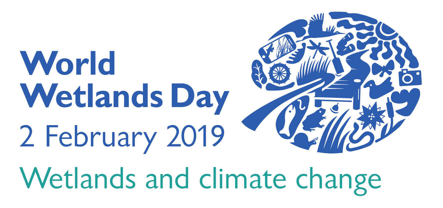
World Wetlands Day is celebrated internationally each year on 2 February. The international theme for World Wetlands Day 2019 is 'Wetlands and climate change’. Wetlands can be vulnerable to climate change, being impacted by changes in temperature, rainfall, sea level rise and extreme events. Wetlands can also play an important role in our approach to climate change mitigation and adaptation, through capturing and storing carbon to reduce atmospheric greenhouse gases, and providing resilience to hazards such as flooding, storm surge and sea level rise. The Ramsar Convention Secretariat has developed a number of downloadable World Wetlands Day materials for 2019, including posters, an infographic, a Power Point presentation, fact sheets and a t-shirt logo. These materials can be found on the Ramsar Convention Secretariat’s World Wetlands Day 2019 website. Wetlands Australia is published each year in February and the 2019 edition can be found on the Australian Government's website. Catchment Story: Black CatchmentTo effectively manage a catchment it is important to have a collective understanding of how the catchment works. Catchment stories use map journals, integrated spatial information, photographs, animations and an informative narrative to demonstrate the features of catchments. This story describes the location, extent and values of the Black Catchment. The stories demonstrate the key features which influence water flow, including geology, topography, rainfall and run-off, natural features, human modifications and land uses. The information was compiled using the 'walking the landscape process', where experts systematically worked through a catchment in a facilitated workshop, incorporating diverse knowledge of the landscape, to develop catchment stories. Assessment Toolbox Update and Inventory PageThe Assessment Toolbox provides links to a number of assessment methods relating to prioritsation, values, conservation and condition from Queensland and around the world. It has recently undergone a significant update, and the new version is now ready to be used.The user can customise their search by purpose, criteria/indicators, method types, time scale, system and wetland scale. Over 25 methods have been reviewed and new methods added. As a part of this update, a new Inventory page provides information and links to the standard methods in use in Queensland for the collection and management of data. The Assessment Toolbox will be undergoing an ongoing review - meaning that in future WetlandInfo updates there will be new and revised methods - so watch this space! Treatment Systems for water quality improvement - Regional ForumThis regional forum was an initiative of the Department of Agriculture and Fisheries and the Department of Environment and Science as part of the Queensland Wetlands Program, funded by the Queensland Government Reef Water Quality Program. The two day forum consisted of presentations on treatment systems for water quality improvement by a range of presenters. The next day featured site visits in the Burdekin Catchment. Moreton Bay Ramsar Information SheetThe Moreton Bay Ramsar Information Sheet is available on the Australian Government website. It provides a detailed explaination of the values, functions and characteristics of the site. Additional linksWater Quality Guidelines Wetlands and climate change - information portalThe Australian Government has developed an information portal on Wetlands and Climate change, as a contribution to the Ramsar Convention's World Wetlands Day theme of "Wetlands and Climate Change". The resources in the portal are broadly relavent to wetland managers and decision makers and include Ramsar Convention climate change resources, vulnerability and impacts, wetlands and the carbon cycle, adaptation and management, blue carbon and case studies. Wetland projects search toolMore projects from the Community Sustainability Action Grants program, have been added to the Wetland projects search tool, as well as projects from various sources on saltmarsh monitoring, rehabilitation and offset work to do with saltmarsh. WetlandUpdateThe WetlandUpdate is a regular bulletin sent to subscribers to provide them with the latest WetlandInfo resources and tools, as well as case studies, video information and new project fact sheets. View all of the previous WetlandUpdates WetlandInfo feedback and improvementsContact us via email for feedback, information or questions about wetlands. WetlandInfo feature animal
Uca signata
Maria Zann
Our February feature animal is the Saltmarsh Fiddler Crab, Uca signata. Fiddler crabs are intertidal animals that live in mangrove forest, tidal creeks, sandbars, mudflats and saltmarsh. Fiddler crabs can occur in huge numbers, with thousands of individuals living in small, adjacent territories. Males and females live intermixed and each individual has its own burrow and a small area of surface sediment around it. Burrows are a refuge during high tide, and during low tide it is a source of water for keeping the gills wet, it is an escape from predators, it is the site of mating and incubation. The space around the burrow is used for feeding and courting. Males wave their enlarged claw to attract females for mating, and each species will have their own waving frequency and colour code to assist females recognising the males of their species. Fiddlers are very active during diurnal low tides. They are constantly busy waving, fighting, mating, feeding or cleaning up around their burrows.
WetlandInfo updates this section regularly, so stay tuned for more! Last updated: 4 February 2019 This page should be cited as: Department of Environment, Science and Innovation, Queensland (2019) WetlandUpdate February 2019, WetlandInfo website, accessed 8 May 2025. Available at: https://wetlandinfo.des.qld.gov.au/wetlands/resources/publications/latest-news/2019-02-04.html |
Site footer

 — Department of the Environment, Tourism, Science and Innovation