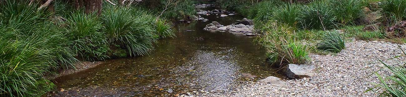
Walking the landscape—catchment stories—Caboolture Catchment
To effectively manage a catchment it is important to have a collective understanding of how the catchment works. Catchment stories, using map journals, integrate spatial information, photographs and animations with an informative narrative to demonstrate the features of catchments.
This story describes the location, extent and values of the Caboolture Catchment. It demonstrates the key features which influence water flow, including geology, topography, rainfall and run-off, natural features, human modifications and land uses.
The information was compiled using the walking the landscape process, where experts systematically worked through a catchment in a facilitated workshop, to incorporate diverse knowledge on the landscape and to develop catchment stories. Others stories are under development, so watch this space!
Terrain (Wet Tropics) Natural Resource Management Group
Due to recent updates to Queensland planning legislation the Programs, policy and legislation page has been updated. The detailed pages have been temporarily removed.
The WetlandUpdate is a regular bulletin sent to subscribers to provide them with the latest WetlandInfo resources and tools, as well as case studies, video information and new project fact sheets.
Department of Environment, Science and Innovation, Queensland (2017) WetlandUpdate August 2017, WetlandInfo website, accessed 8 May 2025. Available at: https://wetlandinfo.des.qld.gov.au/wetlands/resources/publications/latest-news/2017-07-23.html


 — Department of the Environment, Tourism, Science and Innovation