

|
|
Water currentsWater currents (currents) are a directional form of hydrological energy (force) that moves water from one location to another. Currents can be influenced by differences in gravity, heat, chemical gradients (e.g. salinity), pressure, weather influences (e.g. wind) and oceanic processes (e.g. waves, tides, upwellings)[7]. A wetland’s characteristics can shape, interact with and modify a currents speed, direction and strength. Currents in wetlands influence ecological processes and shape wetlands on different scales. 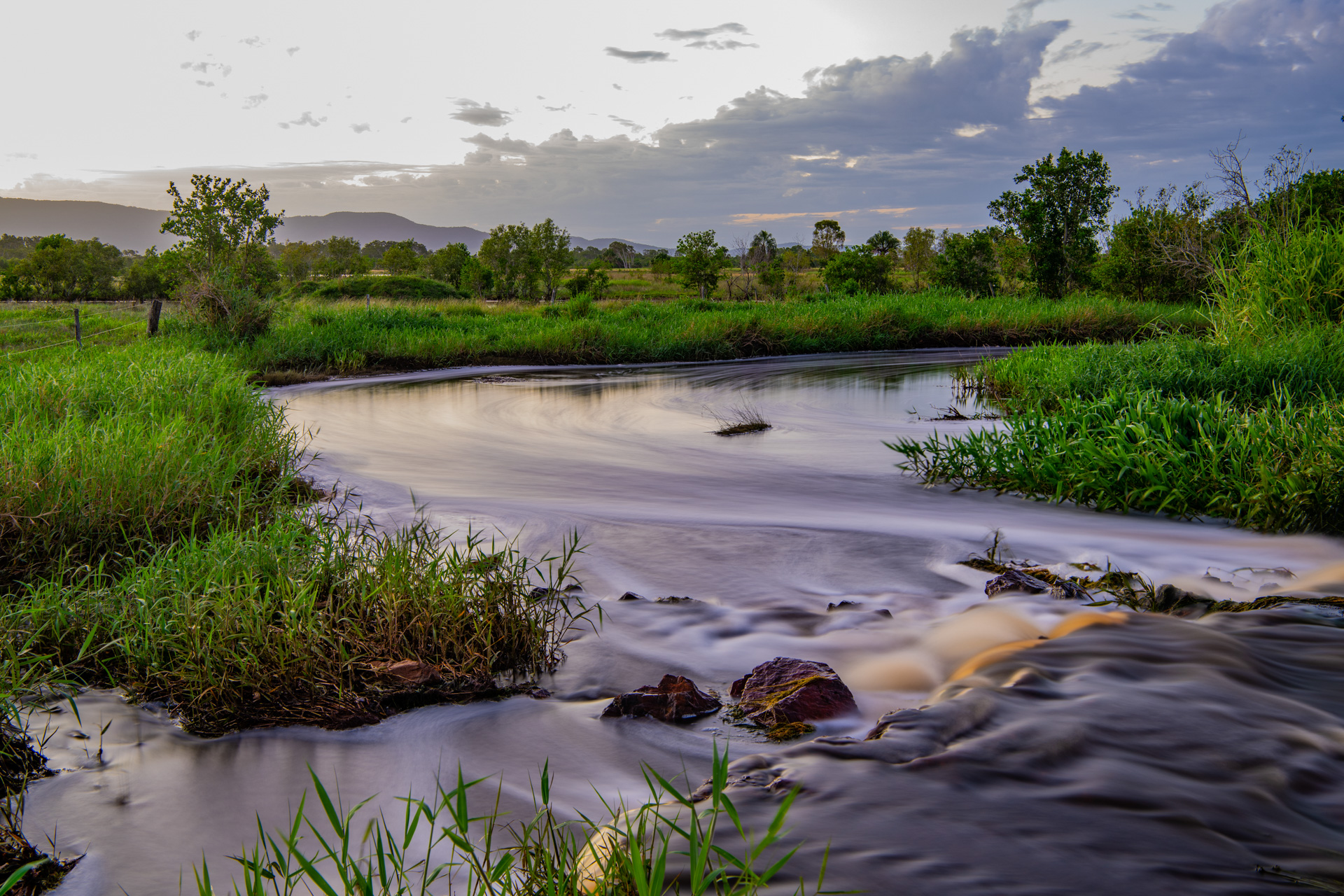
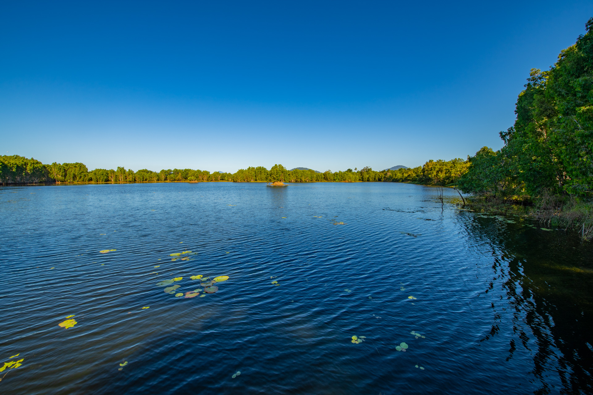
Currents occur in all wetland systems, on different scales and are subject to many variables. As with most natural systems, if one variable is changed, it can result in many changes to the system. Most river currents are caused by water travelling downhill, and are influenced by the gradient/slope of the channel and the volume/discharge of water. River discharge (the volume of water moving through an area of the river at a given time) will determine the strength of the current[5]. Channel morphology also influences river currents. Straight and confined river channels will cause currents to flow faster than meandering river channels in flatter landscapes, such as floodplains. Floodplain wetlands also slow current flows. Currents in rivers are also influenced by local weather and climate - for example, local heavy rainfall will increase discharge and strength of river currents. The roughness and complexity (includng structural biota) of the substrate of the river bed will also influence currents in rivers, such as the depth, width, roughness and its sediment load. Modifications to the natural river system, such as road crossings, dams and weirs, will also influence currents. Harder and smoother surfaces allow water to travel faster than areas with vegetation or rough substrate. Lacustrine wetlands are influenced by currents which mix sediments and dissolved nutrients. Shallow, saline lakes, for example, are well mixed by wind generated currents. This can cause sediment resuspension, which then increases tubidity. Currents in lakes can be influenced by wind mixing, seasonal variation of flows, evaporation, flow inputs (such as surface water inflow from floods), lake depth and water density. Deeper lakes may stratify into different layers where wind driven currents only influence the top layer, preventing mixing below. This is also influenced by density differences in the water. Warmer water is less dense and floats, not mixing with cooler, more dense water below[2]. These principles also influence the processes in intermittently open and closed lagoon lakes (ICOLLs).
It is important to maintain natural current flows (e.g. tidal connectivity, freshwater current flows) and habitat and hydrological connections to ensure that aquatic fauna can complete their life cycles. Maintaining current speeds that are suitable for aquatic fauna passage is important for wetlands. Juvenile fish and smaller fish may not have sufficient strength to swim against strong currents. Anthropogenic structures such as bridges, culverts and weirs modify current speeds. Current speeds may be too rapid for certain fish species or life stages, and need careful consideration of biopassage[11][16]. Fishways can be designed to slow down current speeds and give slow swimming fish a safe avenue to travel in the waterway. What influences water currents?
Currents are generated when water releases kinetic energy through movement. To understand how and why currents influence aquatic ecosystems, an understanding of water movement is required, including how water molecules move, how water interacts with the substrate and objects, what forces cause water to move, what happens when a force is applied to water, and the role of chemical and physical properties of water[3]. Water molecule movement is directional and flows can be represented as vectors or lines. Arrows can indicate flow direction, whereas the length of the arrow represents how fast the water is moving, i.e. current speed. In reality, water flows are continuous and are best represented by animated hydrodynamic models. Both kinetic energy (energy of movement) and potential energy (stored energy) influence hydrodynamic processes, in a number of ways:
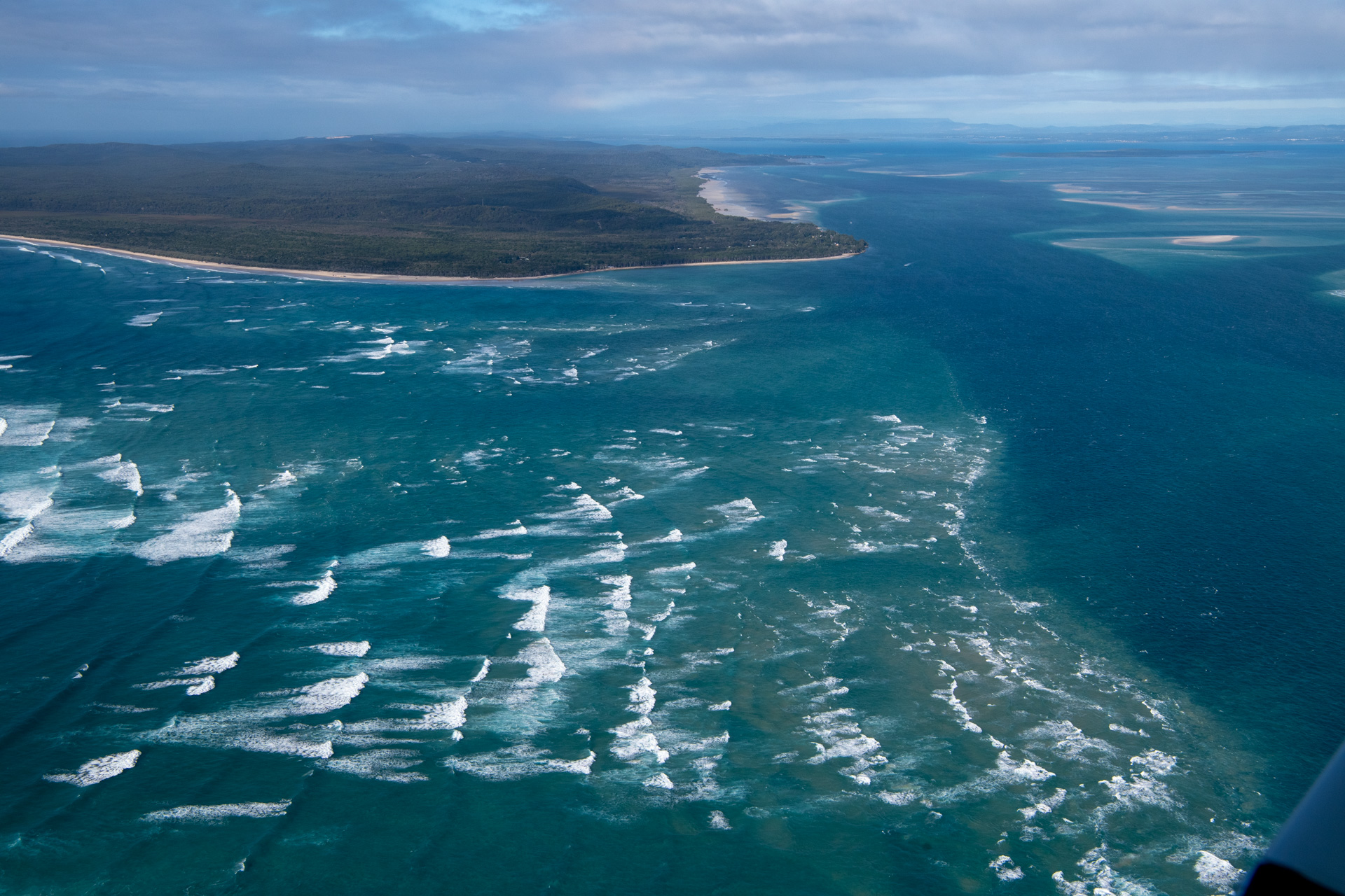
When all water moves downstream in parallel over a smooth substrate this is known as laminar flow. Turbulent flow is where molecules move in any direction (such as on a rough substrate), with net direction going downstream[5]. Turbulent flow is due to friction with the substrate and has an irregular path of motion, creating other processes such as riffles, eddies or swirls. Roughness in the riverbed, seafloor and intertidal areas can be due to the terrain morphology, structural biota , structural macrobiota and terrain roughness which can cause frictional drag and slow currents. Each of these processes modify speeds, depth and oxygen content of the water, which influences wetland ecology. Estuarine and marine (intertidal and subtidal) currentsOceanic currents in the top 100-200m of the ocean are driven by the major wind systems blowing over the ocean surface in large gyres[17]. Ocean currents and eddies have a major role in redistributing heat and circulating nutrients. Ocean currents have two main drivers:
Boundary currents are those adjacent to continents. Ocean currents travel in linear directions or part as filaments going in different directions. In Queensland, the South Equatorial Current separates into the East Australian Current (EAC) and the Hiri Current around 14oS (Cairns to Cooktown). The Hiri Current flows north and east around the Gulf of Papua, partially recirculating as the Papua Gyre. The EAC proceeds southward until around 28oS until it meets the Fraser Front, where it descends into much deeper (4km), colder water, changing into a series of large eddies travelling southward as far as eastern Tasmania, with one section moving off south of Sydney to northern New Zealand. The East Australian Current (EAC) is important for exchange between the tropics and temperate waters from the Coral Sea southward along the east coast of Australia to Tasmania and New Zealand. Climate change is projected to speed up boundary currents and eddies, carrying the warmer waters further south to Tasmania and New Zealand. Upwellings are currents that occur when deeper, colder, nutrient-rich waters are pushed onto the continental shelf, generally tilting the axis of the thermocline at an angle to the shore shallowing this boundary layer. Downwellings are the opposite, driving surface waters deeper. Wind directions and eddies can also influence upwellings onto the continental shelf[20]. Upwellings also occur when cyclonic clockwise eddies draw up nutrient-rich water to the surface, causing phytoplankton blooms that are the start of pelagic food webs[20].
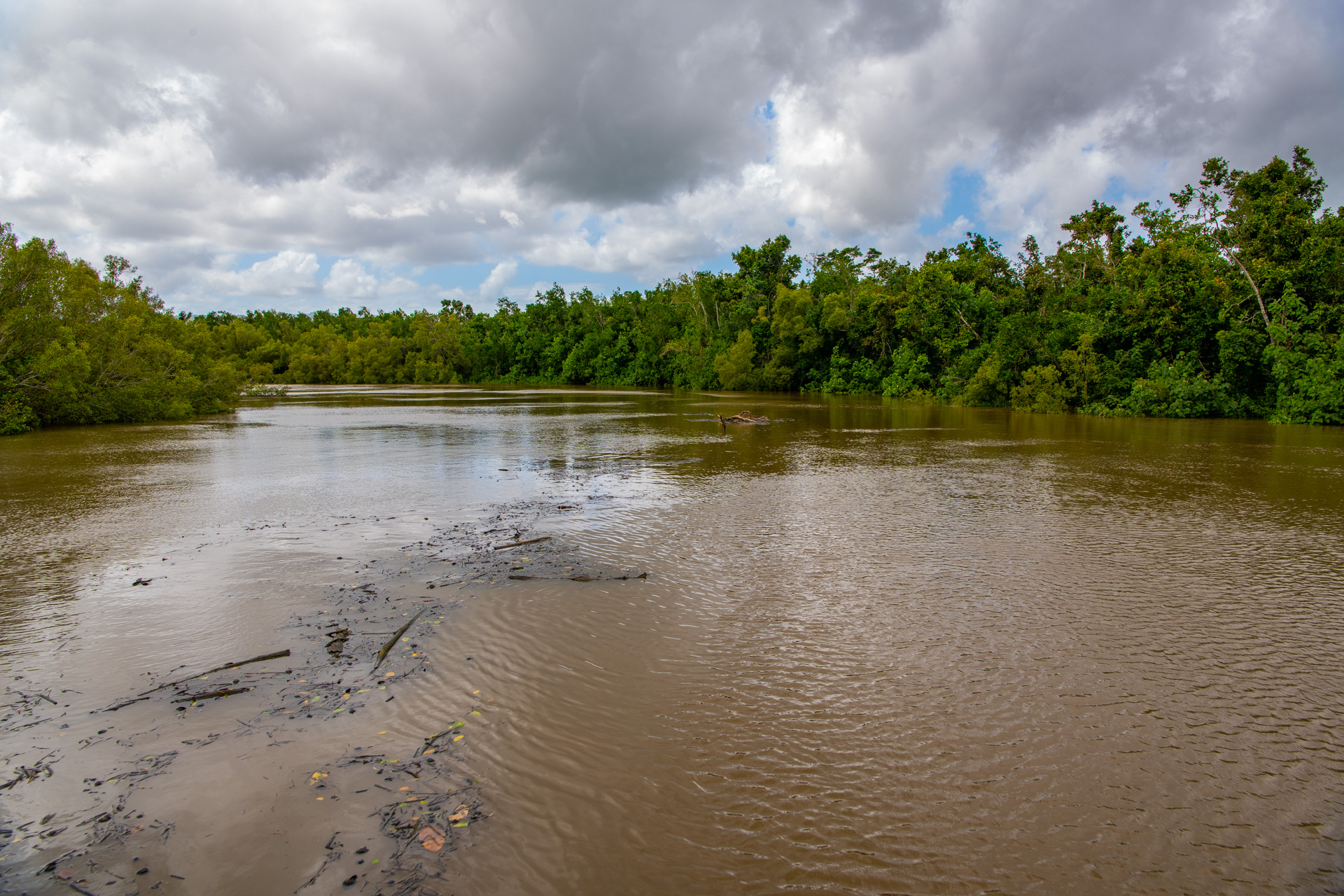
How oceanic currents influence estuarine wetlandsWaves, tidal currents and freshwater flows influence estuaries, driving their hydrodynamics and geomorphology. Together with waves, currents determine the form and function of beaches and determine characteristics of estuary mouths (e.g. freshwater flows versus tidal flows)[18][13]. Ocean currents have a stronger influence in open embayments and wider estuaries that are open to the sea. For example, the East Australian Current forms large gyres that generate seasonal upwellings of colder nutrient-rich water across the continental shelf into coastal waters near K’gari (Fraser Island) and Moreton Bay, causing phytoplankton blooms[21]. Oceanic current influence is reduced in tide-dominated estuaries that are driven by mainly tidal energy, either on the flood current or the ebb current. Wave-dominated estuaries (e.g. ICOLLs) have limited or minimal ocean current influence[4]. Denser, saltier, oceanic waters can penetrate an estuary (either through tidal flows or wave action) and influence currents, circulation patterns and mixing. Climate is an important determinant of freshwater current flows (or lack thereof), salinity levels and mixing in an estuary. In estuaries with high freshwater flows, saltier tidal waters flow upstream along the bottom as a wedge (‘salt wedge’) while a layer of less dense freshwater flows seaward, above the salt wedge. There is limited mixing at the interface of the opposing currents. An inverse estuary occurs where a lack of rainfall and high evaporation, results in denser saltier estuarine waters sinking below fresher tidal sea water, and causing density-driven currents[4][13]. Hervey Bay and Shoalwater Bay are inverse estuaries for most of the year when low rainfall, freshwater runoff and high evaporation prevails. This pattern breaks down when occasional flood events occur[15][14]. Estuaries and nearshore wetlandsIn an estuary, currents and waves drive flushing, mixing, hydrodynamics, and sediment and nutrient distribution[4]. Current flows are influenced by bathymetry, morphology, roughness of the sea floor and biotic structure. Structure tends to slow current speeds, and include living structural macrobiota such as coral reefs, mangrove roots and branches and saltmarsh vegetation and structural substrate composition such as wood snags. Sandbanks and sand flats slow current flows, whereas current speeds are generally faster in channels and on riverbends. Strong currents can undercut river banks, causing erosion. Filter-feeding invertebrates are often found in rapidly flowing currents, and filter feeding vertebrates such as manta rays and whale sharks take advantage of currents that concentrate their planktonic food sources[8]. Importance of currents for wetlandsCurrents circulate oxygen from the surface through the water column, and upwellings transport nutrients from the depths of the sea floor. Currents transport water, sediment and biota in rivers, lakes, estuaries and the ocean and underpin basic productivity and water quality in aquatic ecosystems.
Ocean currents strongly influence climate, water column and benthic ecosystems and the migration of biota, including fish, reptiles and marine mammals and marine debris. Many marine species depend on currents for movement and migration. For example, turtles depend on ocean currents for migration, manta rays depend on ocean currents to distribute and concentrate their planktonic food, and seabirds depend on productive water column ecosystems. The Capricorn Eddy is a key source of productivity for the waters of the southern Great Barrier Reef, where it drives the upwelling of highly productive waters onto the continental shelf, supporting high numbers and diversities of feeding seabirds which nest on cays of the Capricorn-Bunker group, as well as supplying planktonic food to large aggregations of manta rays[23]. Fish orient themselves to currents which are behavioural cues for tidal movements, migration (e.g. freshwater flows) or spawning[1][6]. Slow or minimal current speeds provide a refuge for fish conserve energy. Certain species are attracted to structure both as a refuge from predators and from fast currents[9]. Fish also swim in schools partly to cope with currents[1]. Links and referencesReferences
Last updated: 19 June 2024 This page should be cited as: Department of Environment, Science and Innovation, Queensland (2024) Water currents, WetlandInfo website, accessed 8 May 2025. Available at: https://wetlandinfo.des.qld.gov.au/wetlands/ecology/processes-systems/current-flows/ |

Site footer

 — Department of the Environment, Tourism, Science and Innovation