

|
|
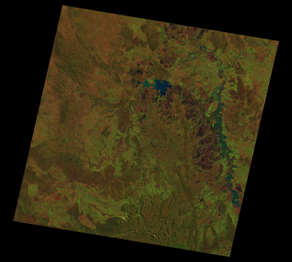
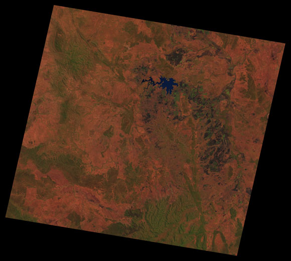
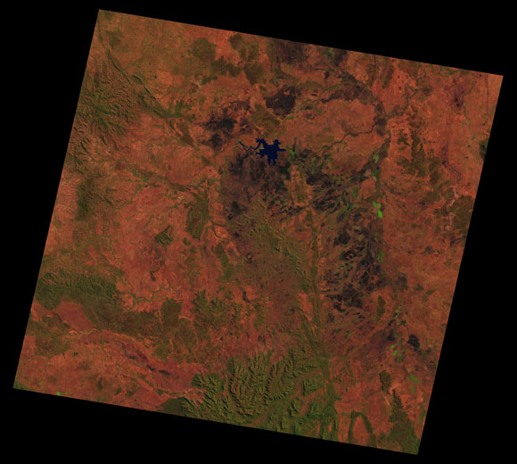
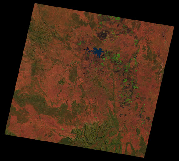
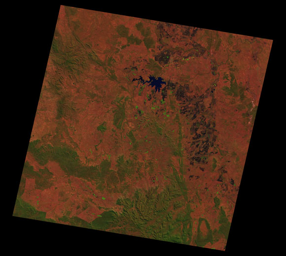
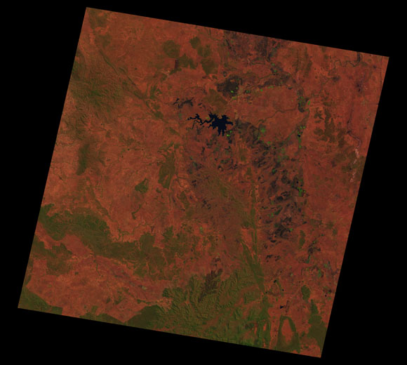
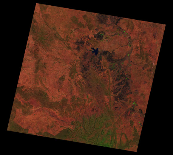
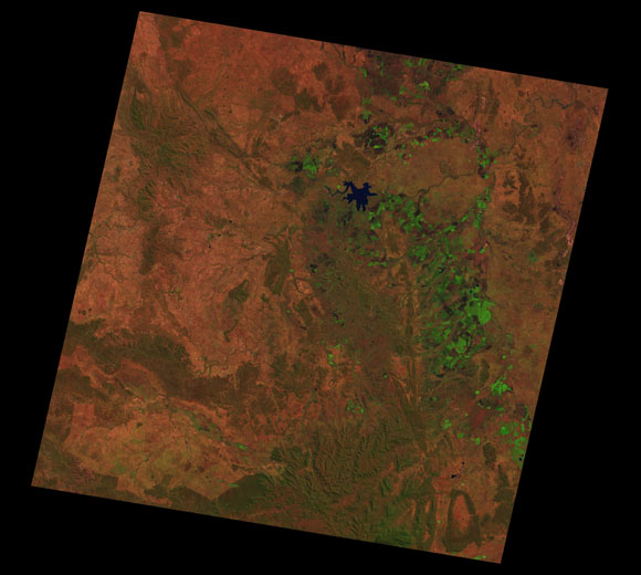
Emerald Landsat SceneWRS path/row: 93/76-77 Images are colour-mapped to enhance the contrast of water bodies (Shortwave→Red, Near-infrared→Green, Green→Blue) Copyright Commonwealth of Australia - Geoscience Australia. Imagery post-processed by DETSI. This page should be cited as: Department of Environment, Science and Innovation, Queensland (2013) Emerald Landsat Scene, WetlandInfo website, accessed 8 May 2025. Available at: https://wetlandinfo.des.qld.gov.au/wetlands/resources/tools/hydro-climate/scene/emer/ |

Site footer

 — Department of the Environment, Tourism, Science and Innovation