|
|
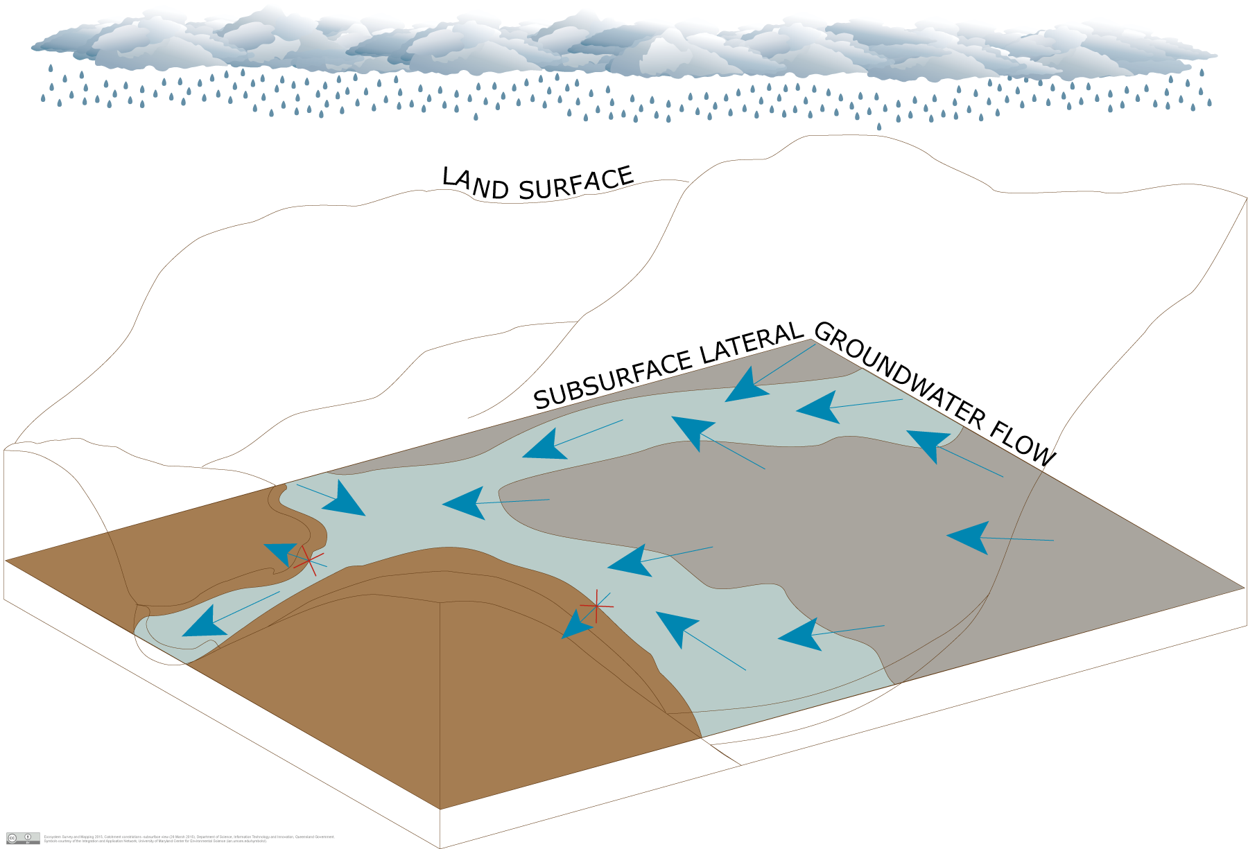
Catchment constrictionsCatchment constrictionsClick on elements of the model or select from the tabs below Catchment constrictions are a narrowing in the width and/or depth of the catchment resulting in the formation of a catchment ‘throat’ which acts as a bottle-neck. Often groundwater above a catchment constriction is shallower due to the restriction of groundwater flow through the constriction point. There may also be a widening of the floodplain up-gradient of a catchment constriction due to the restriction of sediment flow through the constriction point. Unconsolidated sedimentary aquifers may provide a range of ecosystems with water required to support their faunal and floral communities, ecological processes and delivery of ecosystem services.
Pictorial conceptual model PDF Additional links
Last updated: 18 December 2015 This page should be cited as: Queensland Government, Queensland (2015) Catchment constrictions, WetlandInfo website, accessed 8 May 2025. Available at: https://wetlandinfo.des.qld.gov.au/wetlands/ecology/aquatic-ecosystems-natural/groundwater-dependent/catchment-constrictions/ |

 — Department of the Environment, Tourism, Science and Innovation


