|
|
High-level alluviaHigh-level alluvia
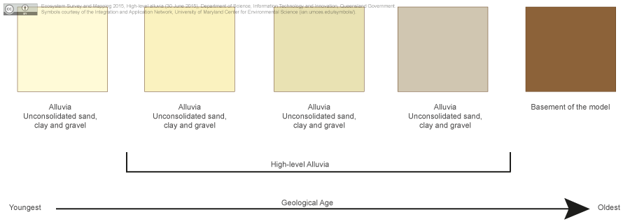
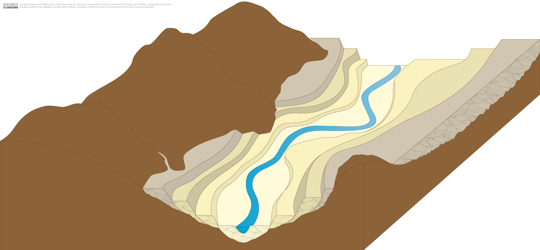
Click on elements of the model or select from the tabs below The term 'high-level' alluvial refers to deposition in ancestral valleys which are located above the channels in the current landscape in a form of inverted relief. Over time a channel will erode through older alluvial deposits resulting in older alluvia appearing in the banks above the channel. Pictorial conceptual model PDF Additional links Last updated: 18 December 2015 This page should be cited as: Queensland Government, Queensland (2015) High-level alluvia, WetlandInfo website, accessed 8 May 2025. Available at: https://wetlandinfo.des.qld.gov.au/wetlands/ecology/aquatic-ecosystems-natural/groundwater-dependent/alluvia-high-level-overlap/ |
Site navigation
Site footer
© The State of Queensland (Department of the Environment, Tourism, Science and Innovation) 2025


 — Department of the Environment, Tourism, Science and Innovation
You are here:
- Home
- Ecology
- Wetland systems (aquatic ecosystems)
- Groundwater dependent ecosystems
- Alluvia—high-level
Ecology
Plants, animals, soils, water and more (components)
How wetlands function (processes)


