|
|
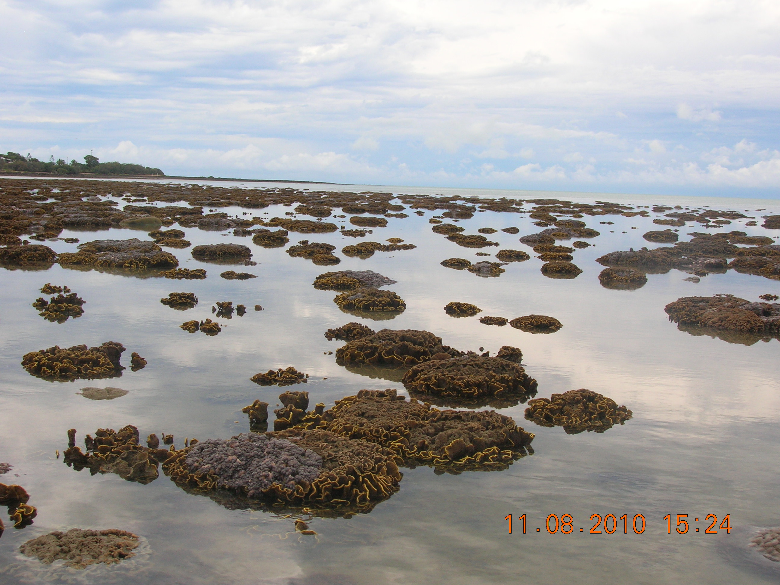
Intertidal and subtidal ecosystem types of Central QueenslandIntertidal and subtidal seascape level ecosystems are described in terms of the biological, physical and chemical factors (attributes) determining their nature and extent. These descriptions can be used on their own in the field, or to link to the mapping of Central Queensland ecosystem types.
Quick facts
Purpose and uses of intertidal and subtidal ecosystem descriptionsIntertidal and subtidal seascape level ecosystem descriptions were devised to provide a better understanding of the biological, physical and chemical attributes (factors) that are determining the nature and extent of the seascape scale ecosystems of Central Queensland. The type descriptions can be used in many ways, as are their land-based equivalents, Regional Ecosystems. The descriptions:
The ecosystem types and associated mapping is non-statutory and available for a variety of uses. These include:
How were the ecosystem types devised?The ecosystem types were devised by expert panels of scientists, managers, consultants and those with local knowledge of the intertidal and subtidal ecosystems of Central Queensland, guided by the Queensland Intertidal and Subtidal Ecosystem Classification scheme (detailed in Module 1 - Part 2). Initially the panels determined the scale and purpose of the classification, that is, a seascape classification for general management purposes. At the attribute classification stage they selected the attributes that best described the nature and extent of Central Queensland intertidal and subtidal ecosystems. At the typology stage they combined the attributes and their categories into a hierarchy of ecosystem types. These are the types detailed below, and mapped on WetlandMaps. For further detail see the Classification and Mapping Method Factsheet. How are the ecosystem types described?Descriptions are grouped by their major diagnostic attributes, and are pull-downs that can be opened and closed.
The other diagnostic attributes for particular ecosystem types (Benthic depth, Sediment texture, Substrate composition, Energy magnitude and Terrain morphology) are detailed in their relevant type descriptions. Explore and search ecosystem typesUse the search box and collapsible categories below to explore the ecosystem type descriptions: Displaying * of * ecosystem types
Quick links
Last updated: 29 May 2019 This page should be cited as: Department of Environment, Science and Innovation, Queensland (2019) Intertidal and subtidal ecosystem types of Central Queensland, WetlandInfo website, accessed 8 May 2025. Available at: https://wetlandinfo.des.qld.gov.au/wetlands/ecology/aquatic-ecosystems-natural/estuarine-marine/descriptions/ |

 — Department of the Environment, Tourism, Science and Innovation


